Waynesville and St. Robert, in the Ozark hills around Fort Leonard Wood
Around Fort Leonard Wood · Waynesville, MO
Two small towns on the old Route 66, clear rivers in wooded valleys, springs and caves in the limestone and long, humid summers: the Ozarks while they're on duty.
Fort Leonard Wood
About 1 h 30 from Springfield-Branson via I-44
Hot, humid summers with afternoon thunderstorms. Spring is wet and stormy; autumn is mild with colour in October. Winters are cool, with ice storms more of a problem than snow.
May, June, September, October
Fly to Springfield or St. Louis, then I-44
Water shoes, insect repellent, a light rain jacket
Fort Leonard Wood lies in the northern Ozarks of south-central Missouri, in Pulaski County, with the small towns of St. Robert and Waynesville along I-44 at its northern edge. St. Robert is the newer strip of hotels and services near the interstate exits; Waynesville, a few minutes west, is the county seat, with a courthouse square, a spring and a creek running through it. Around both, the land folds into wooded hills and deep river valleys.
Many visitors come for a basic training graduation, when rooms in both towns fill early; the graduation weekend guide explains how to plan around it. Visitor passes, ID requirements and rules for coming on post are set by the base and change, so check with the person you are visiting or the base itself. The first-trip guide lists what to ask.
The drive in from Springfield or St. Louis
The two usual airports sit at either end of the same interstate. Springfield-Branson National is closer: about an hour and a half north-east on I-44. St. Louis Lambert International has more flights and is about two and a quarter hours south-west on the same road. I-44 is busy with freight traffic, and in the hills it climbs and curves more than you might expect; in fog, heavy rain or ice, give yourself extra time. Deer are common on the roads at dawn and dusk.
While they're on duty: Route 66 through Pulaski County
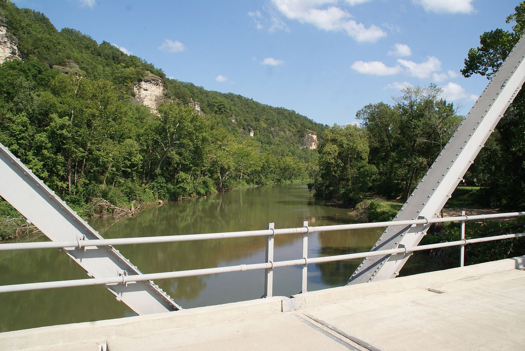
Before the interstate, Route 66 carried traffic through these hills, and Pulaski County keeps one of the best-preserved stretches of the old road in Missouri. East of St. Robert, the old alignment drops through Hooker Cut, a deep cutting through solid rock made in the 1940s, and down to Devil's Elbow, a sharp bend of the Big Piney River beneath high bluffs. The old steel bridge across the river there dates from the 1920s, and the view of the river curving under the cliffs is the one on many postcards of the road.
The old road is easy to follow on a half-day drive: leave the interstate east of St. Robert, take the old alignment down through the cut to the river, stop at Devil's Elbow to walk out onto the bridge, then rejoin I-44 further on. Further east, stretches of the old highway run on through small river settlements in wooded valleys, close to where the Little Piney meets the Gasconade. Rolla, about half an hour from the post, is a university town with a quiet centre and a partial replica of Stonehenge on its campus, cut from granite, which children tend to enjoy. Drive the old road slowly; it is narrow, with sharp bends and no shoulder in places.
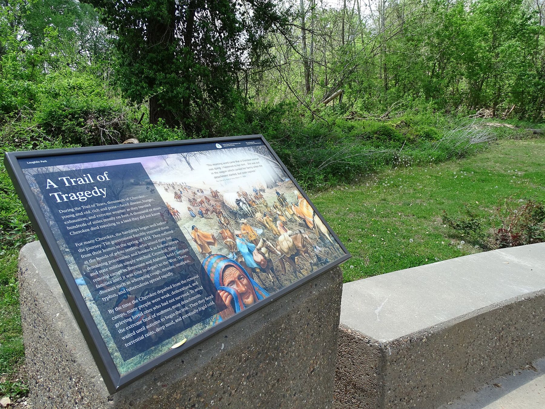
In Waynesville, the Old Stagecoach Stop on the courthouse square is a small museum in a building that dates from before the Civil War and served as a stagecoach inn and, during the war, a hospital. Volunteers run it, so opening is limited and seasonal; check before you go. Nearby, Roubidoux Spring rises beside the creek in the town park, a quiet spot for a walk and a picnic. The route of the Trail of Tears also passed through this area, and the town marks it near the creek.
ALSO ON THE MAPJunction City and Manhattan, in the tallgrass hills around Fort RileyFloating the Ozark rivers
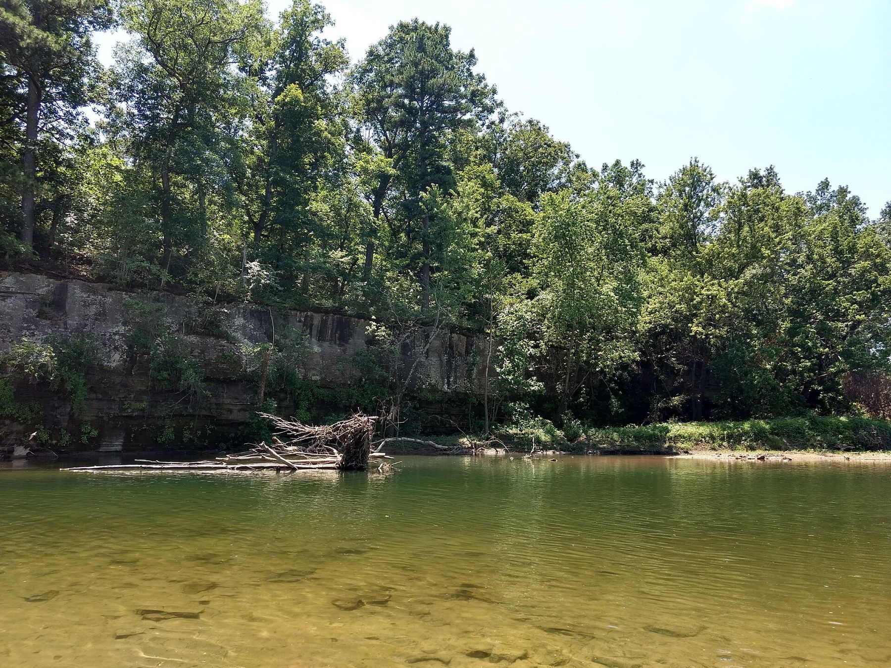
The great local pastime in summer is floating: a lazy day downriver by canoe, kayak or inner tube, with stops on gravel bars to swim and eat. The Big Piney River and the Gasconade both wind through wooded valleys near the post, clear and cool, with bluffs and springs along the way. Local outfitters rent boats and run shuttles back to your car in season, and the person you are visiting may know who other families use.
A river that is gentle one week can be fast and muddy the next after heavy rain upstream.
A river that is gentle one week can be fast and muddy the next after heavy rain upstream. Check levels and forecasts before you set out, wear life jackets, keep children close in deeper water, and never camp or park in a low spot when storms are forecast. Weekends in high summer can be crowded and loud on popular stretches; a weekday float is a different experience.
Caves, springs and forest
The limestone under the Ozarks is riddled with caves and springs. Onondaga Cave State Park, about an hour to the east near Leasburg, offers guided tours through large chambers full of formations; tour times are seasonal, so check before you go. To the west, about an hour away near Camdenton, Ha Ha Tonka State Park has the stone ruins of an early twentieth-century mansion on a bluff above a spring-fed lake, with trails, natural bridges and sinkholes to explore.
Much of the land around the post is part of the Mark Twain National Forest, with quiet roads, small campgrounds and trails through oak and pine. In mid to late October the hills turn red, orange and gold, and a drive through the forest on a clear autumn day is reason enough to come in that season.
An old road through the hills
The old road map that leads this page, drawn in 1861, shows the route east from the Gasconade River to Rolla, roughly the corridor the highway and then the interstate would follow. Fort Leonard Wood itself was built quickly in 1940 and 1941, and the towns grew around it. The post has museums of its own; access depends on the base's visitor rules, so ask before planning a visit around them.
Humid summers, icy winters
Summers are hot and humid, with temperatures in the 90s Fahrenheit and thick air; thunderstorms build on many afternoons and can bring sudden heavy rain and flash floods in the valleys. Ticks and chiggers are common in the woods and grass, so use repellent and check yourself after walks.
Spring is wet and changeable, with severe storms possible from March to June. Autumn is the kindest season: mild days, cool nights and the hills in colour. Winters are cool rather than harsh, but freezing rain and ice storms can make the hilly roads dangerous for a day or two. The gate-day weather guide compares all the posts side by side.
NEXT ON THE MAP
02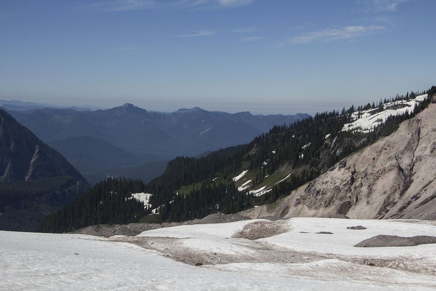
MOUNT RAINIERJoint Base Lewis-McChord
About 2 h from Tacoma to the high meadows via Ashford
›06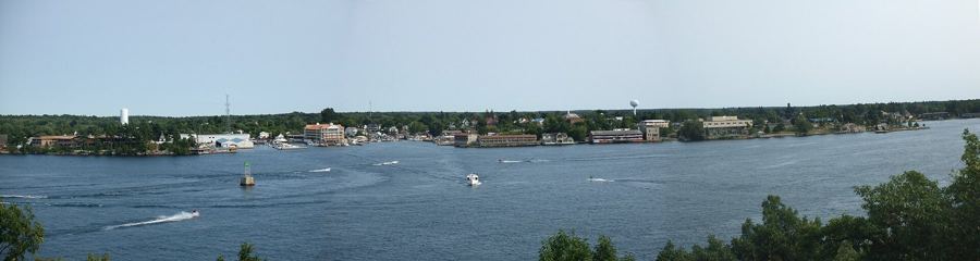
THOUSAND ISLANDSFort Drum
About 1 h 40 from Syracuse Hancock International via I-81
›