The cheapest ticket often lands two hours from the post, the closest airport often costs more and has fewer flights. How to weigh the two and plan the drive at the end.
Any post
From ten minutes to about two hours, depending on the post
Winter storms delay flights in the north and on the Plains; summer thunderstorms cause afternoon delays almost everywhere. Spring and autumn are usually the smoothest seasons for connections.
Any month; avoid holiday peaks
Hub airport plus rental car, usually
Driving licence, charger, snacks, offline map
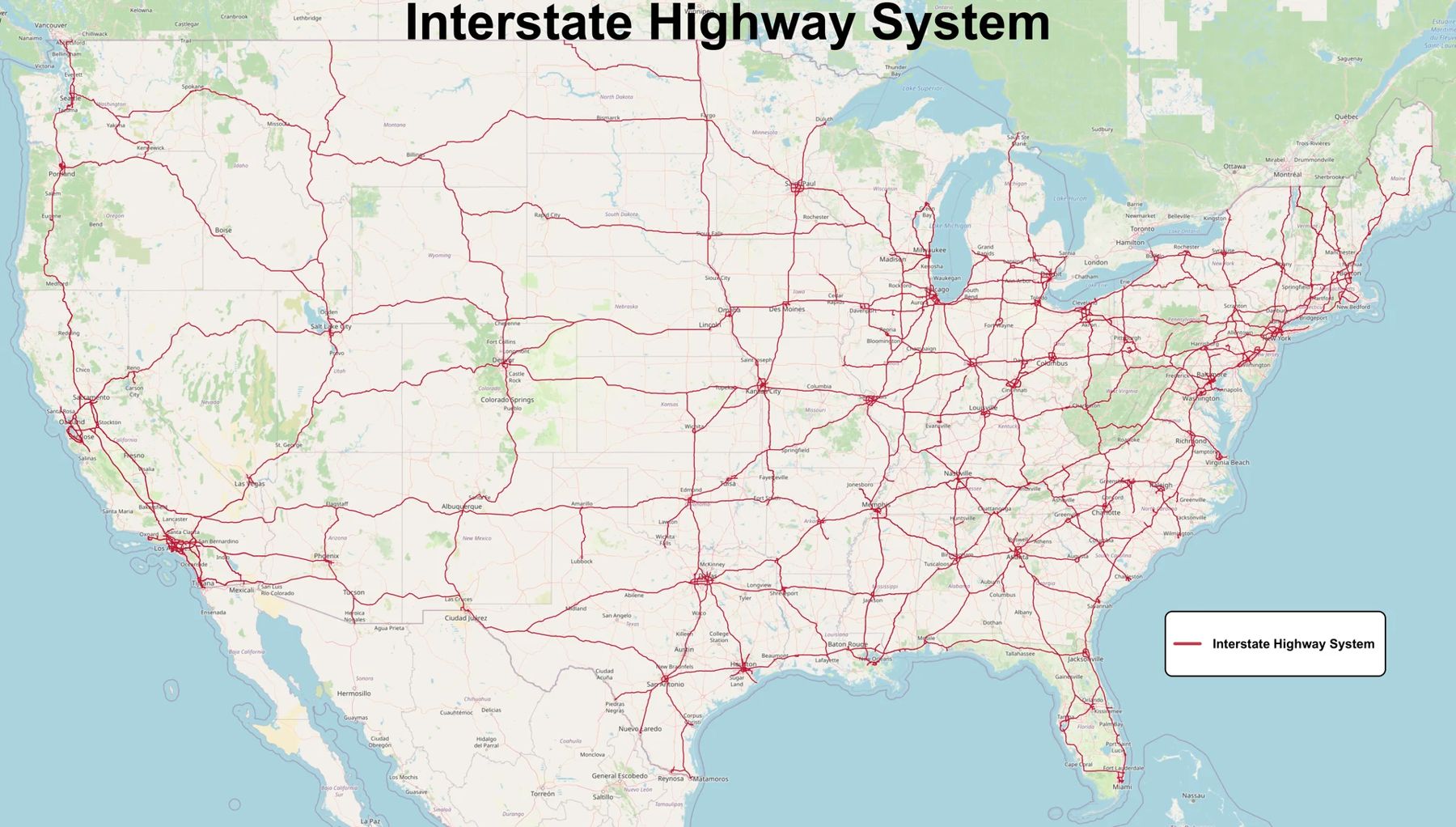
Most army posts were built where there was room to train, not where the airlines would later choose to fly. The result is that almost every visit starts with a choice: fly into a big hub airport an hour or two away and drive the rest, or pay more for a seat into a small regional airport much closer to the gate. Neither is always right. This guide sets out the trade-offs, gives rough drive times for the towns on this site and covers the last stretch of road, which is where tired visitors make most of their mistakes.
All the drive times here are approximations for normal traffic and dry roads. Rush hour, roadworks and weather can add a great deal, and the person you are visiting will usually know the real figure better than any map.
Hub or regional: what you are really trading
A large hub airport usually means more flights, more direct routes, lower fares and a wider choice of rental cars. If a flight is cancelled, there is often another one the same day. The cost is the drive: an hour or two after a long travel day, often on unfamiliar interstates, sometimes at night.
A small regional airport near the post can cut that drive to minutes. In exchange you usually need a connection, the fares are often higher and the schedule is thin, so a single delay or cancellation can cost you a whole day. Rental counters at small airports may have only a few cars and short opening hours; if your flight lands late, check that someone will still be there to hand you the keys.
A useful rule: if your visit is short and fixed around one event, such as a ceremony, the reliability of a hub is usually worth the drive. If you have a few days and some slack, a regional airport can save you real time and fatigue.
Drive times from the towns on this site
These are typical routes from the larger airport most visitors use. Smaller airports exist near several posts; ask the person you are visiting which ones families tend to use.
| Post | Usual airport | Rough drive |
|---|---|---|
| Fort Carson | Denver International | About 1 h 30 via I-25 |
| Joint Base Lewis-McChord | Seattle-Tacoma International | About 45 minutes via I-5 |
| Fort Bliss | El Paso International | About 10 minutes |
| Fort Huachuca | Tucson International | About 1 h 30 via I-10 |
| Fort Riley | Kansas City International | About 2 h 15 via I-70 |
| Fort Sill | Oklahoma City airport | About 1 h 30 via I-44 |
| Fort Leonard Wood | Springfield-Branson National | About 1 h 30 via I-44 |
| Fort Campbell | Nashville International | About 1 h 15 via I-24 |
| Fort Drum | Syracuse Hancock International | About 1 h 20 via I-81 |
A few of these deserve a note. Colorado Springs has its own airport, closer to Fort Carson than Denver, with fewer routes. Fort Leonard Wood sits roughly between Springfield and St. Louis, so St. Louis Lambert is an option if the fares are much better, at the cost of about two hours on I-44. Each town guide on this site, from Colorado Springs to Watertown, has more on its own drive in.
ALSO ON THE MAPGate-day weather, post by postThe rental car and the shuttle question
Almost everyone visiting a post needs a car. Towns around military posts tend to be spread out, public transport is limited, and the places worth seeing while the person you are visiting is on duty are often well out of town. Book early for busy weekends, because the cars at small airports and in post towns can run out entirely when hundreds of families arrive for the same graduation.
Before you sign, check a few things. Ask how tolls are charged, since some routes, especially in Oklahoma, are toll roads that bill by number plate, and the rental fee for handling them can add up. If you might cross into Canada or Mexico, check whether the agreement allows it. And keep the rental paperwork in the car: if you plan to drive on post, the base may ask for vehicle documents, which is one of the things to confirm in advance, as the first-trip guide explains.
Shuttle services run between some hub airports and post towns, and they can be a good answer if you do not want to drive after a long flight. Schedules and pick-up points change, so confirm the details shortly before you travel, not months ahead.
Land in daylight if you can
The single most useful thing you can do is to arrive before dark. The last part of almost every drive to a post runs through country roads or long stretches of interstate with little lighting. Deer are common at dusk across most of the country, from the Ozarks to the North Country, and a collision with one can end a trip. A road you have never driven is harder to read at night, and fatigue after a day of flying is real.
If the only flight that works lands late, think about staying the first night near the airport and driving in the next morning. It costs an extra night but often saves the first full day from being spent exhausted.
Time zones and other small surprises
The towns on this site span four time zones, and that catches people out when they plan a call or a pick-up time. Fort Campbell, Fort Riley, Fort Sill and Fort Leonard Wood are on Central time; Fort Carson and Fort Bliss are on Mountain time; Joint Base Lewis-McChord is on Pacific time; Fort Drum is on Eastern time. Arizona does not change its clocks in summer, so for half the year Fort Huachuca keeps the same time as the Pacific coast.
Fort Campbell straddles the Kentucky and Tennessee line, and western Kentucky shares Central time with Clarksville, so the state line itself does not move the clock. Check your own phone settings when you land, because a phone can occasionally pick up the wrong zone near a boundary.
What to keep within reach
Keep your driving licence, any ID the base has asked for and a charged phone in your hand luggage, not in a checked bag that might arrive a day late. Download an offline map of the area before you take off, because signal can be weak on the last stretch. Water and something to eat matter more than they sound when a delay pushes the drive into the evening.
Finally, send the person you are visiting your flight details and expected arrival time. Their schedule may change with little warning, and they can tell you if it makes sense to come a day earlier or later.
NEXT ON THE MAP
14
UNITED STATESAny post
Plan to arrive the day before, in daylight
›15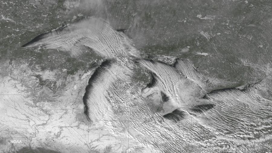
UNITED STATESAny post
Weather can double a drive; allow extra time
›