Colorado Springs, the town at the foot of Pikes Peak
Around Fort Carson · Colorado Springs, CO
Red rock walks, an old spa town, a road to 14,000 feet and a state park on the south edge of the city: what to do while the person you came to see is on duty.
Fort Carson
About 1 h 30 from Denver International via I-25
Sunny most days and dry. Snow can fall from October to May, often melting within a day; summer afternoons build thunderstorms over the mountains, with lightning on the high ground.
September and October
Fly to Denver, then I-25 south
Water bottle, sunscreen, a warm layer for the peak
Colorado Springs sits where the plains run straight into the Front Range, and Pikes Peak fills the western sky from almost every street. Fort Carson spreads along the south side of the city, so most visitors end up staying somewhere between the post and downtown. That is a good place to be: almost everything worth a few hours is within half an hour's drive, and much of it is free or close to it.
This guide is about the town around the post, not the post itself. Visitor access, passes and ID requirements are set by the base and change from time to time; the person you are visiting, or the base directly, is the one to ask. Read what to sort before the gate if this is your first trip in.
Day one: the altitude arrives before you do
The city stands at roughly 1,840 metres, a little over 6,000 feet. Most people feel nothing worse than a mild headache, short breath on stairs and a poorer night's sleep than usual. Drink more water than seems sensible, go easy on alcohol for the first evening, and keep the first day flat. The sun is stronger up here too, and the air is dry enough to crack lips by the second morning, so sunscreen and lip balm earn their place in the bag.
If you fly into Denver International, the drive south on I-25 takes about an hour and a half when traffic is light, longer at rush hour or in snow. The city also has its own smaller airport on the east side, with fewer routes but a much shorter run to the south end of town. The airport and drive-time guide compares the two in more detail.
While they're on duty: red rock and an old spa town
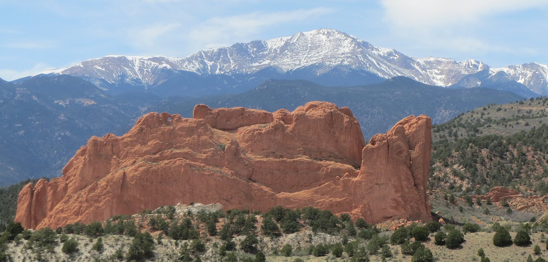
Start with Garden of the Gods, a city park on the west side where fins of red sandstone stand up out of the scrub with Pikes Peak behind them. The central loop is paved, flat and about a mile and a half, which suits grandparents, pushchairs and anyone still adjusting to the thin air. Entry is free. Go early: the rock turns deep orange in low morning light, the car parks are easy, and you will often have the trail mostly to yourself before ten. The visitor centre across the road has a terrace that frames the whole formation against the mountain.
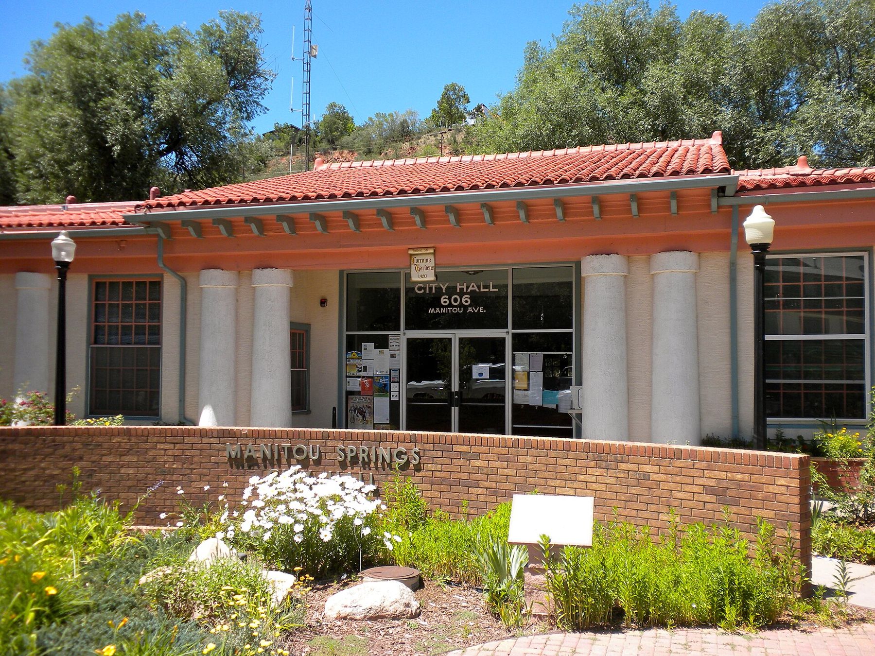
Past the park, the road drops into Manitou Springs, a small town at the mouth of Ute Pass that grew up around its mineral springs in the late nineteenth century. Several springs are piped to fountains along the main street and in small parks, and you can fill a cup and taste them; each has its own flavour, from faintly fizzy to strongly iron. The old centre is compact and walkable, with Victorian houses climbing the hillsides on both sides of Fountain Creek.
Above Manitou is the Manitou Incline, a former railway bed that climbs about 600 metres in less than a mile. It is very steep, it is not a casual walk at this altitude, and access arrangements have changed in recent years, so check before you go. For something gentler, the trails in Red Rock Canyon Open Space, between Manitou and the city, give you the same red rock with far fewer people.
Up Pikes Peak by road or by rail
Pikes Peak rises to about 4,300 metres, more than 14,000 feet, and you can reach the summit without climbing a step. The Pikes Peak Highway is a toll road that winds up from the town of Cascade; the drive takes a couple of hours there and back with stops, and in busy months it has used timed reservations. The cog railway runs from a station in Manitou Springs and climbs through forest and then bare rock to the top. Both depend on the season and the weather, and fees and timings change, so check before you go.
Whatever the date, take a jacket: it can snow on the summit in July.
Whatever the date, take a jacket: it can snow on the summit in July. The air at the top holds a little over half the oxygen you would get at sea level, so walk slowly, sit down if you feel dizzy, and come down if a headache builds. Children and older visitors often do better with a short stay at the top and a longer picnic lower down. Summer storms tend to arrive in the early afternoon, which is another reason to go up in the morning.
ALSO ON THE MAPEl Paso, the desert city around Fort BlissThe south side, close to the post
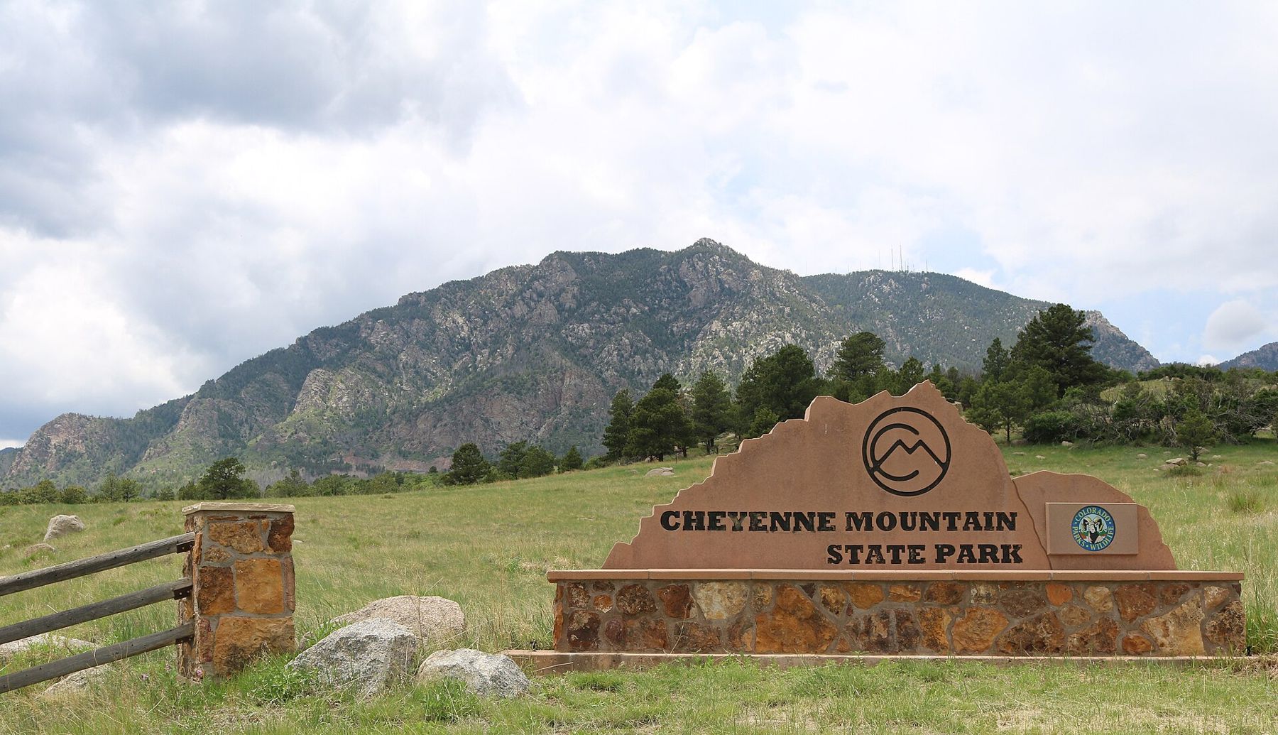
If you only have a few hours between visits, Cheyenne Mountain State Park is the closest green space to Fort Carson, a few minutes off Highway 115. The lower trails cross open grassland and scrub oak with the mountain wall above, and they are mostly gentle enough for a family walk. Mule deer are common at dawn and dusk, and the park has picnic areas and a visitor centre. A state park vehicle pass is needed; check the current arrangement before you go.
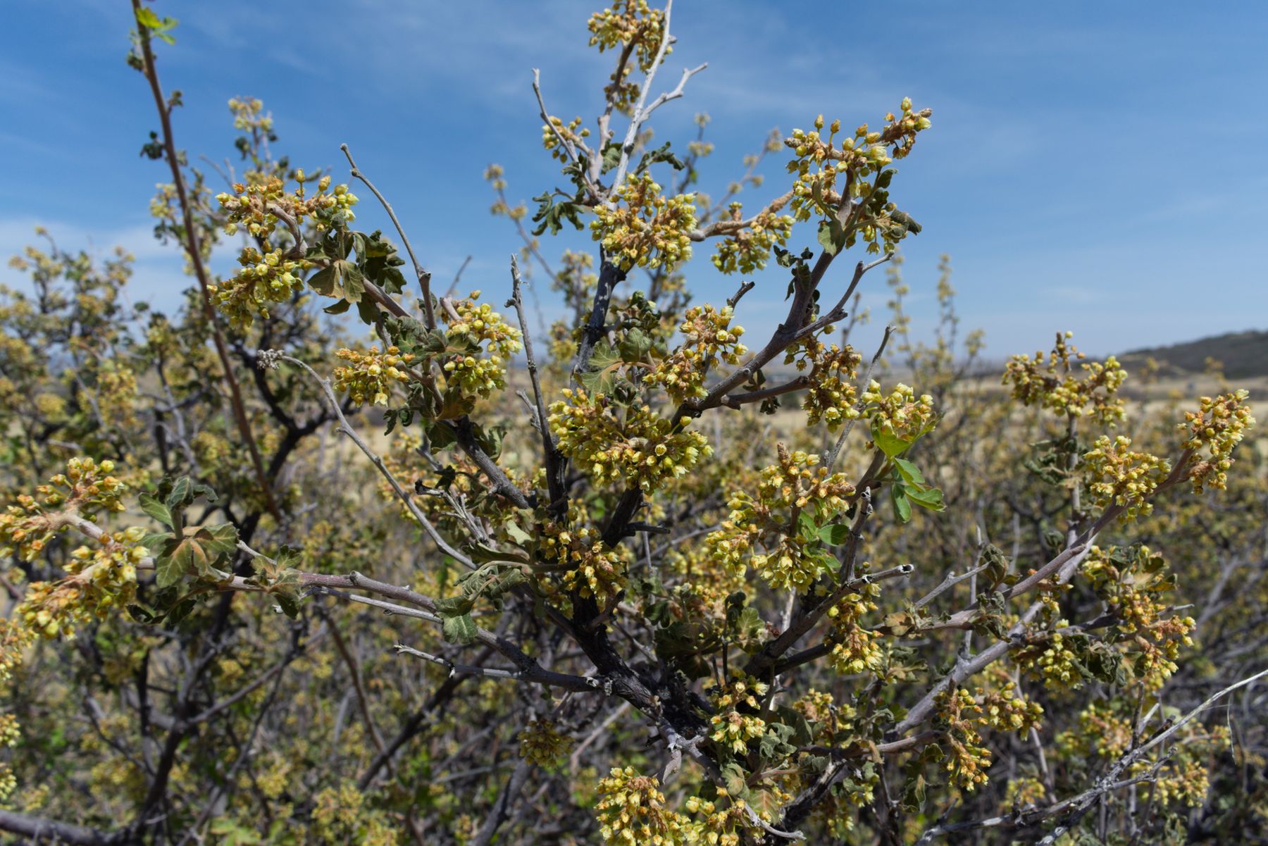
In spring the low shrubs along these trails flower in pale yellow clusters before their leaves fully open, and the grass greens up quickly after snowmelt. By late September the scrub oak on the slopes turns rust and red.
Closer to downtown, North Cheyenne Cañon Park has a road that climbs a narrow granite canyon, with short trails to waterfalls and lookouts. Downtown itself has the United States Olympic and Paralympic Museum, a good choice for a rainy afternoon, and the Colorado Springs Pioneers Museum in the old county courthouse, which covers the city's history from the gold rush years onward. Some posts have museums of their own on the grounds; access depends on the base's visitor rules.
What the sky does at 6,000 feet
The city gets a lot of sunshine, but the weather turns quickly at the foot of a mountain range. Summer days are warm and dry in the morning, with thunderstorms building over the peaks by early afternoon; plan walks and the summit trip for the first half of the day. Autumn is the steadiest season, with clear skies, cool nights and golden aspens in the high country through late September.
Winter brings snow from about October to May, but storms are often followed by bright, mild days that clear the roads quickly. A warm, dry wind off the mountains can lift temperatures sharply in a matter of hours. Spring is the least predictable time of year, with heavy wet snow possible into April and May. If your trip falls around a ceremony, the graduation weekend guide covers booking early and planning around the weather.
Whenever you come, pack layers rather than one heavy coat, keep water in the car, and leave room in the day for a slow start. The person you are visiting will know the local roads and how long the drive across town really takes at the hour you need to be there.
NEXT ON THE MAP
02
TACOMAAround Joint Base Lewis-McChord
About 45 minutes from Seattle-Tacoma International via I-5
›03
EL PASOAround Fort Bliss
About 10 minutes from El Paso International
›