A mountain range in the middle of town, old missions along the river, rock art in the desert to the east and a border city across the water: El Paso while they're on duty.
Fort Bliss
About 10 minutes from El Paso International
Hot, dry summers with frequent days over 100 F and storms from July to September. Winters are mild and sunny, nights cold; spring brings wind and dust. Snow is rare and brief.
October to April
Fly into El Paso International
Hat, sunscreen, refillable water, a fleece for nights
El Paso is one of the easiest posts to reach: the city's airport sits right beside Fort Bliss, and you can be at a hotel within minutes of landing. The city wraps around the southern end of the Franklin Mountains, with the Rio Grande and Ciudad Juarez on the far side. It sits at roughly 1,140 metres in the Chihuahuan Desert, which explains both the clear skies and the heat.
Visitor passes, ID requirements and what you may bring on post are set by the base and change; check with the person you are visiting or the base itself well before you travel. The first-trip guide lists what to ask.
First hours in the desert: water and shade
Desert air is dry enough that you lose water without noticing. Carry a bottle everywhere, drink before you are thirsty, and plan outdoor time for early morning and the hour before sunset. From late spring through September, midday is for museums and air conditioning. A wide-brimmed hat and sunscreen are as important here as a coat is in the north.
The airport is small and easy, and rental cars are close to the terminal. If you are flying in for a ceremony, the graduation weekend guide explains why rooms near a post fill early and how to plan around the crowds.
While they're on duty: the mountains in the middle of town
Franklin Mountains State Park covers most of the range that splits El Paso in two, and it is one of the largest urban parks in the country. The easiest way in is the Tom Mays area, off Transmountain Road on the west side of the range, with picnic shelters, short nature walks and longer trails into rocky canyons. An entrance fee applies, and opening hours vary with the season; check before you go.
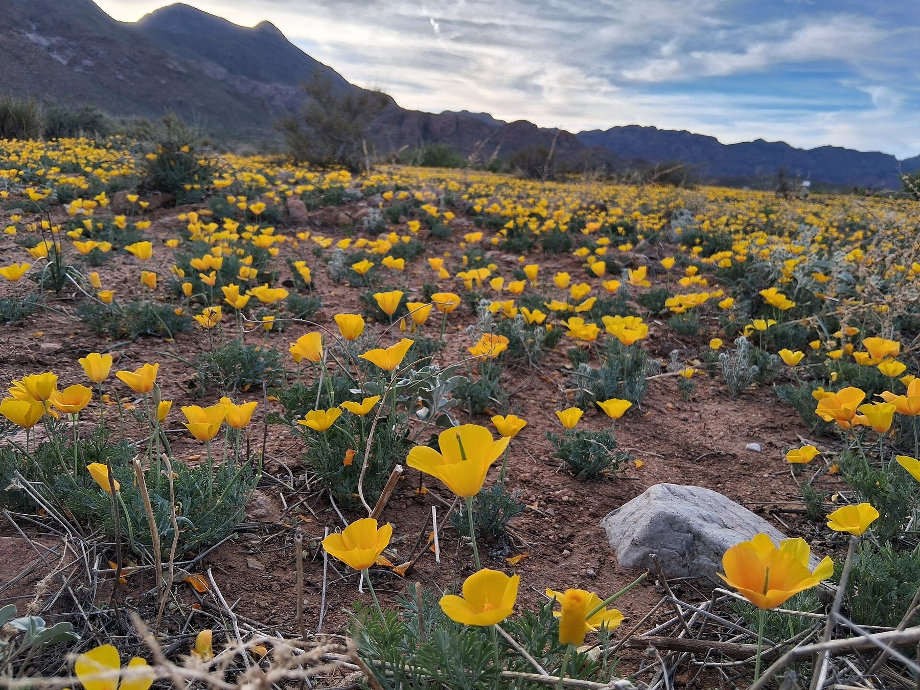
In a wet late winter, the lower slopes on the north-east side can turn gold with Mexican poppies, usually around March. The show depends entirely on winter rain and does not happen every year, but when it does, families come out in numbers to walk among the flowers.
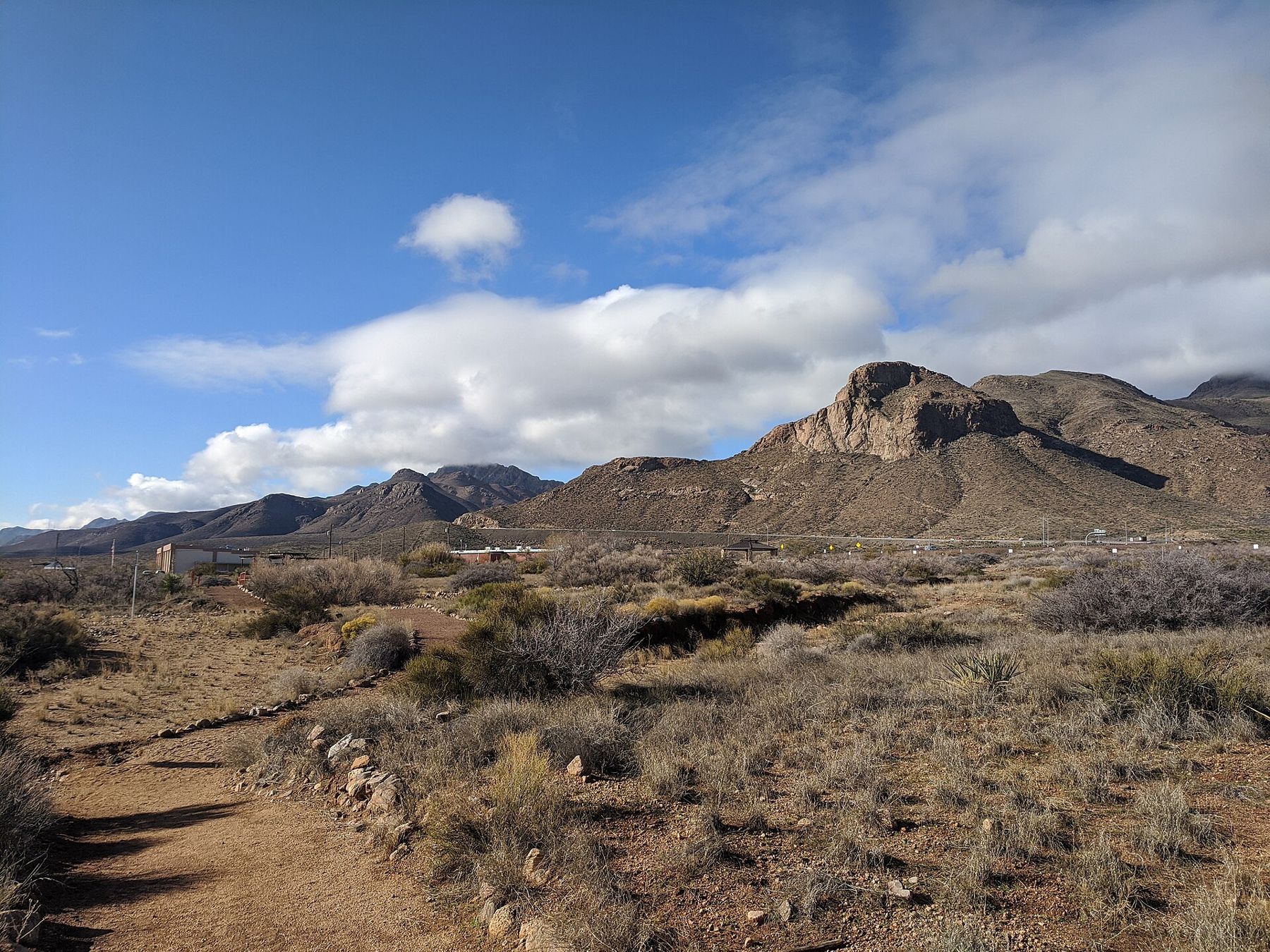
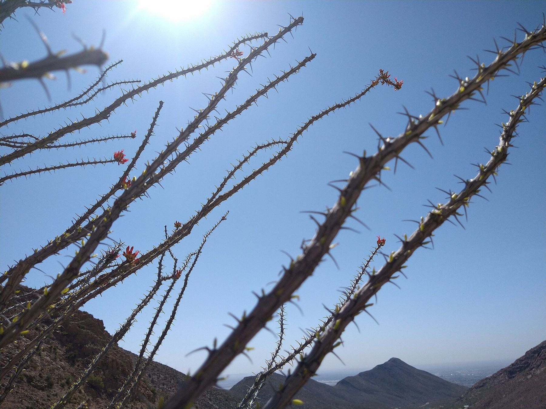
Transmountain Road itself is worth driving for the views: it climbs over a pass between the peaks and drops toward the north-east of the city, with pull-offs along the way. Ocotillo grows on the slopes, bare grey stems most of the year, then tipped with red flowers and green leaves after rain.
On the eastern side of the pass, close to the north-east neighbourhoods nearest the post, the El Paso Museum of Archaeology covers the people who lived in this desert over thousands of years, from early hunters to the pueblo villages. Outside, an easy nature trail loops through gardens of native plants, labelled so you can put names to the yucca, agave and creosote you have been driving past. It makes a calm, shaded hour for grandparents and children, and it is close enough to fit between a morning visit and lunch.
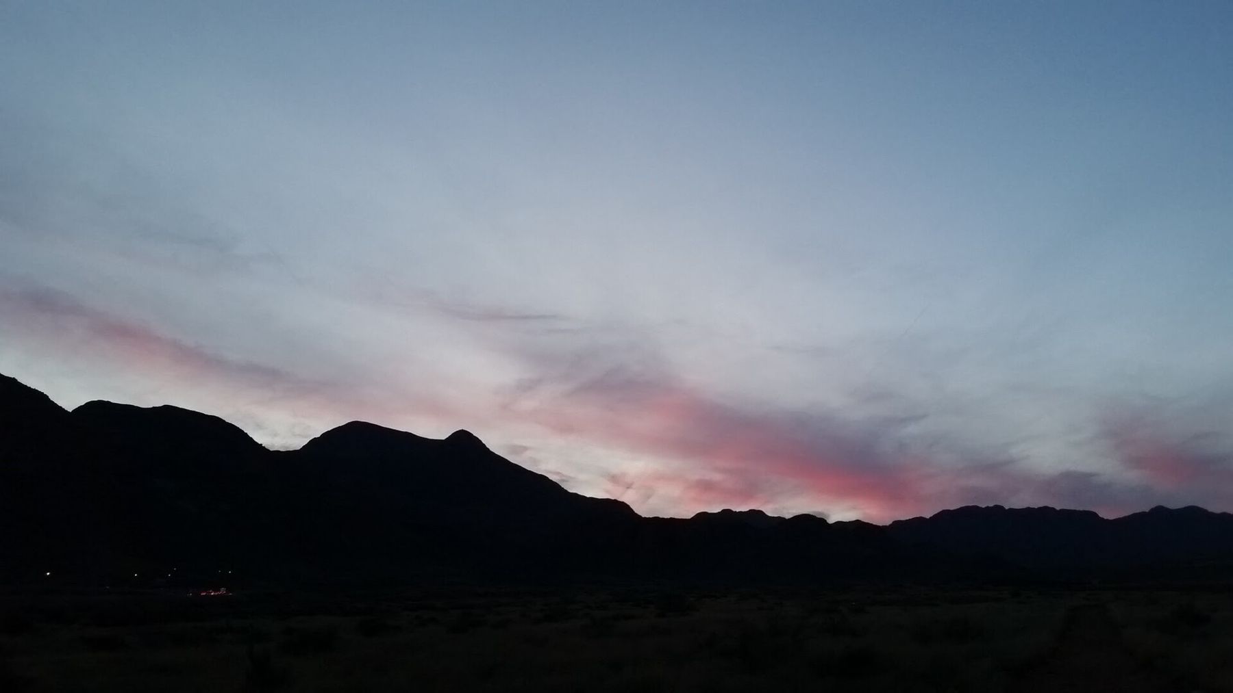
For a view of the whole city at once, take Scenic Drive, a road cut into the southern end of the range above downtown. From the overlook you can see El Paso, the river and Ciudad Juarez spread out below, with mountains in Mexico on the horizon. Go at dusk, when the lights of both cities come on together. The road is narrow and busy on fine evenings, so park only in marked spaces. Below the overlook, the streets of the older neighbourhoods on the mountain's flank hold early twentieth-century houses in brick and stucco, and a slow drive back down through them is a pleasant way to end the evening. Bring a jacket: once the sun goes, the desert cools quickly, even after a hot day.
The Mission Trail and the old town
South-east of downtown, the Mission Trail links three historic churches along the river valley. Ysleta Mission, founded in the 1680s, is among the oldest mission communities in Texas; Socorro Mission, a few miles further, has adobe walls and carved wooden beams; and San Elizario Chapel stands on the plaza of a small town with a history of its own. They are active churches, so dress modestly and be quiet during services. The drive between them takes about half an hour and can fill a morning with stops.
ALSO ON THE MAPSierra Vista, high desert below the Huachuca MountainsDowntown has the El Paso Museum of Art and the El Paso Museum of History, both close together and good on a hot afternoon, and the Chamizal National Memorial beside the river marks the settlement of a long border dispute between the two countries. Some posts have museums of their own on the grounds; access depends on the base's visitor rules.
Hueco Tanks and crossing the border
About 45 minutes east of the city, Hueco Tanks State Park and Historic Site protects a cluster of low granite hills where rainwater collects in natural basins. People have gathered here for thousands of years, and the rocks hold painted images, including many mask faces. Visitor numbers are limited each day, reservations are strongly advised, and first-time visitors watch a short orientation before going in. Some areas are open only with a guide. Check the current system well before you go.
Hueco Tanks rewards planning: book ahead, arrive early and leave the climbing to people who know the rules.
Hueco Tanks rewards planning: book ahead, arrive early and leave the climbing to people who know the rules. In summer, go at opening time, when the rock is still cool.
Ciudad Juarez is a short walk across the river from downtown, and families of people at Fort Bliss sometimes ask about a day across. You need a passport or passport card to come back into the United States, and travel advisories for the area change; read the current advice for the region before deciding, and ask the person you are visiting whether there is anything particular they have been told. Many visitors simply look at Juarez from Scenic Drive and leave it at that.
Heat, monsoon and the mild months
Summer is hot: from May to September many days pass 100 degrees Fahrenheit, and the sun is fierce. From July into September the monsoon brings afternoon thunderstorms, brief heavy rain and sudden flooding in low crossings and arroyos; never drive into water over the road.
Autumn and winter are the gentlest seasons, with warm, bright days and cold nights; pack a fleece for the evenings. Snow falls a few times in some winters, usually dusting the peaks and vanishing by afternoon.
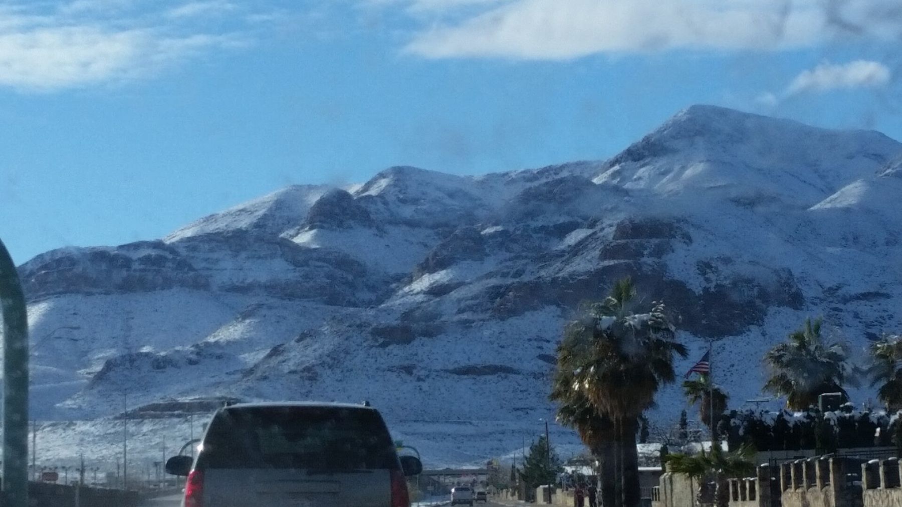
Spring brings wind, sometimes strong enough to raise dust storms that cut visibility on the highways. The gate-day weather guide sets El Paso against the other posts, and the Colorado Springs guide covers a very different kind of mountain town further north. Whenever you come, start early, keep water in the car and let the afternoon be slow.
NEXT ON THE MAP
04
JUNCTION CITYAround Fort Riley
About 2 h 15 from Kansas City International via I-70
›05
CLARKSVILLEAround Fort Campbell
About 1 h 15 from Nashville International via I-24
›