Sierra Vista, high desert below the Huachuca Mountains
Around Fort Huachuca · Sierra Vista, AZ
A mile-high town under a sky-island range, with hummingbirds in the canyons, a cottonwood river to the east and two old mining towns within an easy drive.
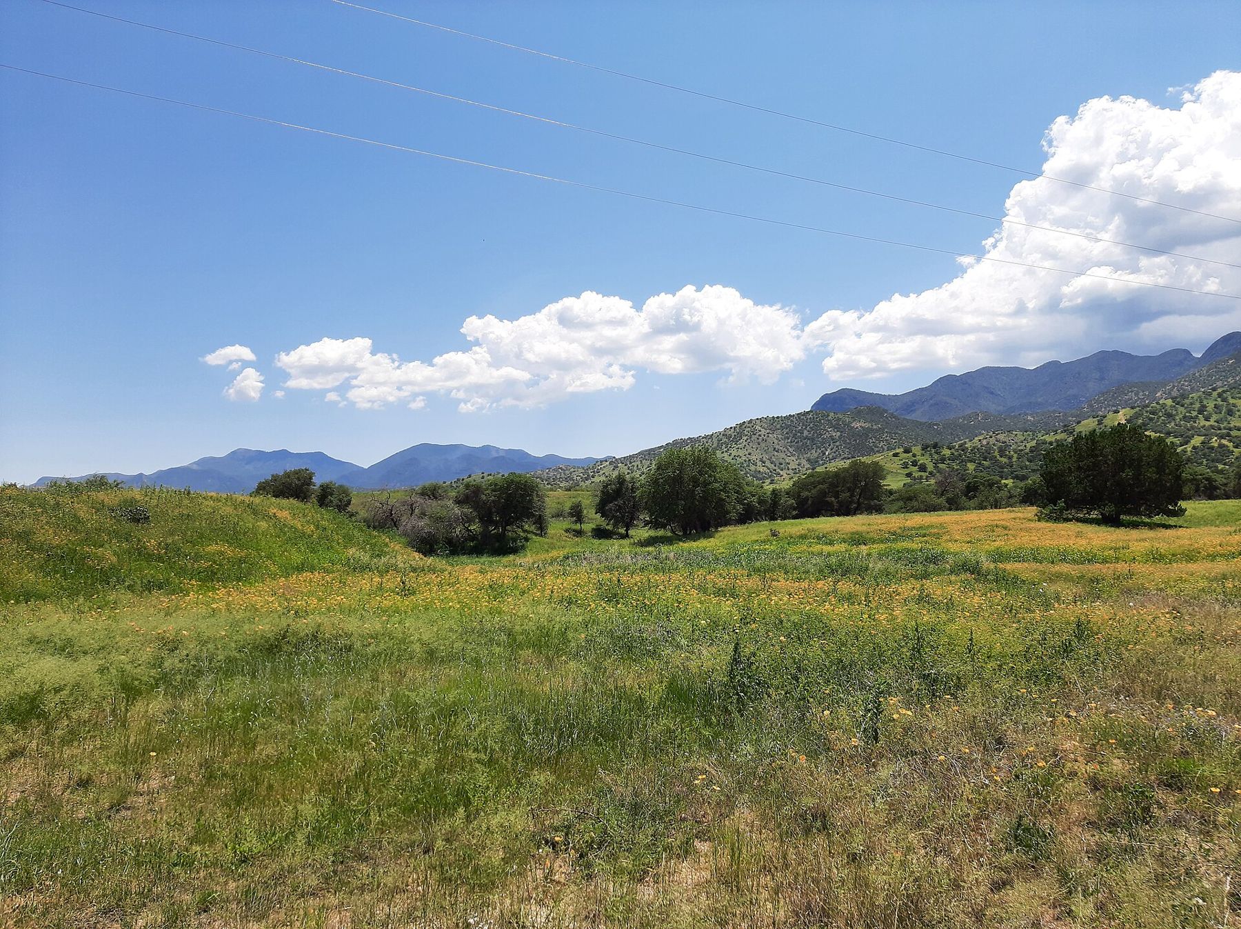
Fort Huachuca
About 1 h 30 from Tucson International via I-10 and AZ 90
Warm, dry springs with strong wind; hot early summers; monsoon thunderstorms from July to mid-September. Autumn is mild and clear, winter sunny with cold nights and occasional snow on the peaks.
April, May, October, November
Fly to Tucson, then I-10 and AZ 90
Binoculars, hat, sunscreen, a light rain jacket
Sierra Vista grew up beside Fort Huachuca in the far south-east of Arizona, on a broad slope below the Huachuca Mountains. At around 1,400 metres it is higher and cooler than Tucson, and the mountains behind it rise far higher still, cool and forested at the top. For visitors, that mix of desert, canyon and grassland is the point: there is more to see within half an hour than the size of the town suggests.
Visitor access to the post, passes and ID requirements are set by the base and can change. The person you are visiting, or the base itself, is the one to ask, and the first-trip guide lists what to sort out before you set off.
The drive down from Tucson
Most visitors fly into Tucson International. From there, the drive is about an hour and a half: east on I-10 past the Rincon Mountains, then south on AZ 90 through open grassland to Sierra Vista. The road is straight and quiet, but it crosses long stretches with few services, so fill the tank and carry water. If you land after dark, take it steadily; wildlife crosses at night. The airport guide covers timing your arrival in general.
Hummingbird canyons for the duty days
Sierra Vista likes to call itself a hummingbird capital, and it has a case. The canyons that cut into the east face of the Huachucas hold shade, water and flowers through the hot months, and they draw more hummingbird species than almost anywhere else in the country. Ramsey Canyon Preserve is the best known, a narrow, sycamore-lined canyon with a stream, feeders near the visitor area and a trail that climbs gently into the mountains. Parking is small, opening days and hours are limited, and a fee may apply; check before you go.
The hummingbird season peaks from spring through late summer, with the most species often seen in August, but the canyon is worth a walk in any month for its cool air and big trees. Bring binoculars and patience: sit still near the feeders for ten minutes and the birds come to you. Carr Canyon and Miller Canyon, a little further south, offer more trails into the same range.
The San Pedro River
East of town, the San Pedro River runs north out of Mexico in a ribbon of cottonwoods and willows that you can see from miles away across the grassland. The San Pedro Riparian National Conservation Area protects a long stretch of it, and the river corridor is one of the most important bird migration routes in the American Southwest. An old ranch house on AZ 90 serves as a visitor centre, with easy trails down to the water and benches beside a pond.
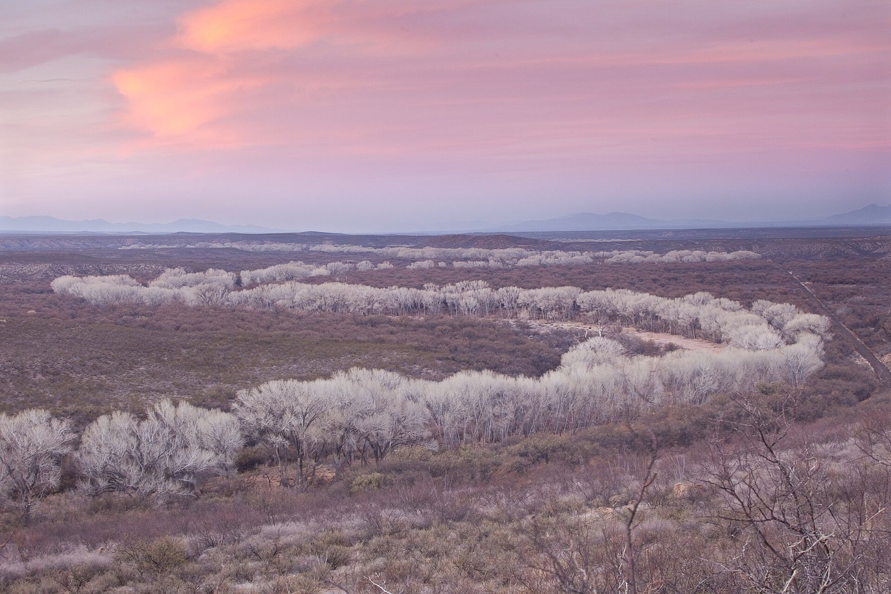
In winter the cottonwoods stand bare and pale along the riverbed; in spring they leaf out bright green, and in autumn they turn gold. The walks are flat and suit all ages. Go early or late in the day, when birds are active and the light is soft, and stay on the trails, since the river banks are fragile.
Day trips: Bisbee, Tombstone and the border hills
Bisbee, about half an hour to the east over the Mule Mountains, is an old copper-mining town built up the sides of a steep canyon, with stairways for streets in places and houses stacked one above another. The vast open pit on the edge of town shows the scale of the mining, and the Bisbee Mining and Historical Museum tells the story of the town's boom years. The streets are steep, so wear comfortable shoes.
Tombstone, about the same distance to the north-east, is the silver-boom town of Wild West legend. Its main street is preserved as a historic district, and Tombstone Courthouse State Historic Park, in the 1882 county courthouse, is the place for the real history behind the films. Expect crowds and staged entertainment on weekends.
On a hot afternoon, or a stormy one, head north on AZ 90 toward Benson to Kartchner Caverns State Park, about forty minutes from town. The cave was found by two young cavers in the 1970s and kept secret for years while its protection was arranged, and it is still a living cave, damp and growing, with formations in red, orange and white. Visits are by guided tour only, the tours are popular, and booking ahead is wise; check current tour times and rules before you go. Inside, the air stays warm and humid all year, so you need no extra layers.
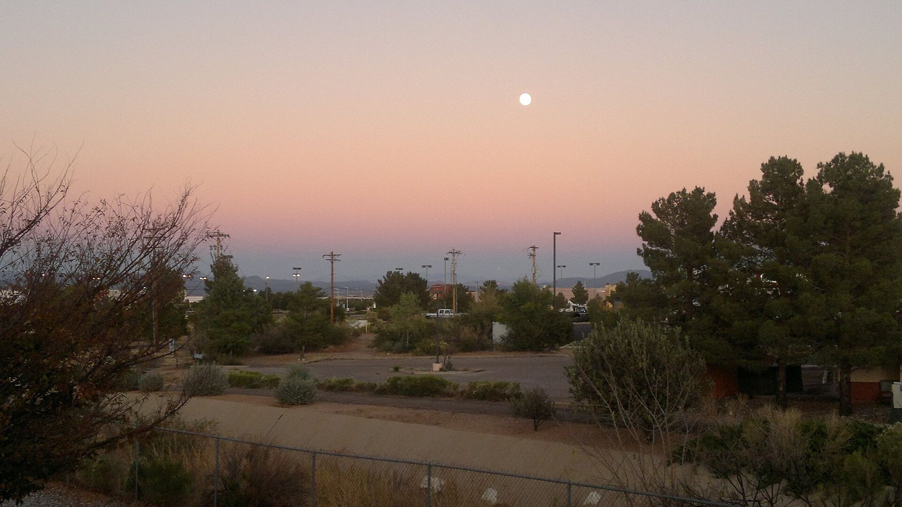
Closer to home, the town itself has wide streets, parks and a long paved path system that suits an evening walk with the mountains turning pink above. The person you are visiting will know which paths are nearest and which stretches are shaded.
Coronado National Memorial is the quietest of these trips, and on a clear day the view from the pass reaches far into Mexico.
Coronado National Memorial is the quietest of these trips, and on a clear day the view from the pass reaches far into Mexico. It lies at the southern tip of the Huachucas, about half an hour from town, with a visitor centre in the lower canyon and a gravel road climbing to a high pass. Check road conditions before driving up. Some posts have museums of their own on the grounds; access depends on the base's visitor rules.
Monsoon storms and the dry months
Spring is dry, warm and often windy, and May and June are the hottest months before the rain comes. The monsoon usually arrives in early July and lasts into mid-September: mornings are bright and humid, then thunderstorms build over the mountains in the afternoon, with lightning, sudden downpours and flash floods in normally dry washes. Never drive through flowing water on a road, and plan canyon walks for the morning.
Autumn is the most comfortable season, with clear skies, mild days and cool nights. Winter days are sunny and pleasant, but nights drop toward freezing, and snow sometimes dusts the high peaks. Altitude makes the sun strong in every season. The gate-day weather guide compares the posts side by side.
NEXT ON THE MAP
08
LAWTONAround Fort Sill
About 1 h 30 from Oklahoma City via the I-44 turnpike
›09
WAYNESVILLEAround Fort Leonard Wood
About 1 h 30 from Springfield-Branson via I-44
›