Granite hills full of bison and longhorn cattle, a cobblestone resort town from the early 1900s and a museum of the southern Plains, all within half an hour of Fort Sill.
Fort Sill
About 1 h 30 from Oklahoma City via the I-44 turnpike
Windy all year. Spring brings severe storms and tornado warnings; summers are long and hot, often past 100 F. Autumn is mild and clear; winter swings between sunshine and ice.
April, May, October, November
Fly to Oklahoma City, then I-44 south
Binoculars, water, a windproof layer, closed shoes
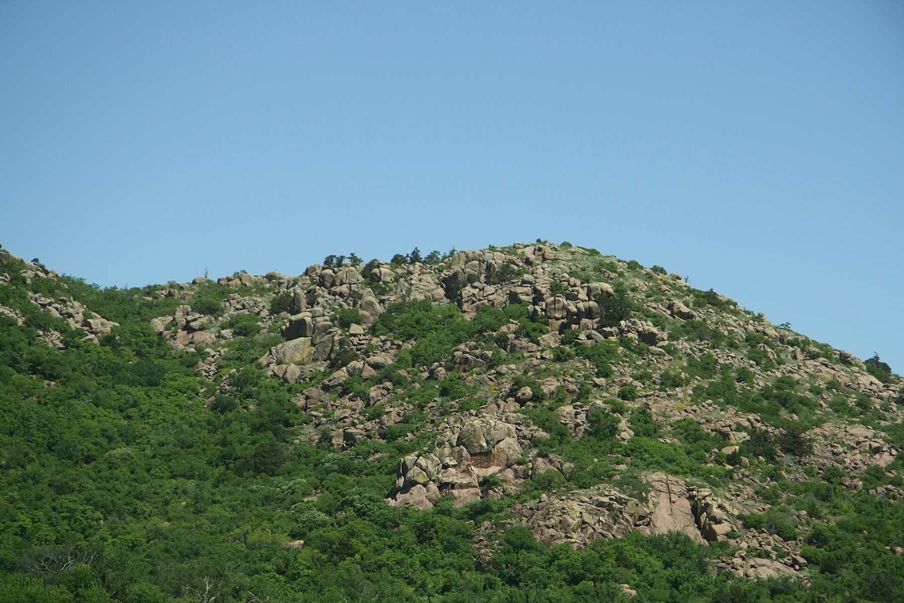
Lawton grew up beside Fort Sill in south-western Oklahoma, and for most of its visitors the town's best asset lies just to the north-west: a range of pink granite hills rising straight out of the plains. The town itself is spread out and practical, with hotels along the main roads and everything a short drive apart. Many people come here for a basic training graduation, and the weekend fills quickly; the graduation weekend guide covers booking early and planning around the day.
Visitor passes, ID requirements and the rules for coming on post are set by the base and change. Check with the person you are visiting, or the base directly, before you travel, and see the first-trip guide for the general questions.
The drive in from Oklahoma City
Lawton has a small regional airport with few connections, so many visitors fly into Oklahoma City instead. From there, the drive south-west takes around an hour and a half on I-44, most of it on a toll turnpike; tolls are collected electronically, so check how your rental car handles them. The road crosses open farmland and is easy driving, though crosswinds can be strong. Dallas-Fort Worth is roughly three hours to the south-east if fares there are better.
While they're on duty: bison country
The Wichita Mountains Wildlife Refuge, about twenty minutes from town, covers a huge area of grassland, oak woods, lakes and granite hills. It was set aside in the early twentieth century partly to bring back the American bison, and herds now roam freely across the refuge, along with Texas longhorn cattle, elk, white-tailed deer and prairie dog towns that children can watch for an hour.
Bison often graze right beside the roads and sometimes stand on them. Stay in your car or keep well back, at least the length of a few buses: they are large, fast and unpredictable, and every year visitors are hurt by getting too close. Drive slowly, especially around dawn and dusk when the animals are most active.
The refuge has a visitor centre with exhibits and current information, picnic areas beside small lakes, and trails from short walks to rugged scrambles through boulder fields. Parts of the refuge are closed to the public to protect wildlife, so follow the signs. Check current hours and any closures before you go.
Inside the refuge, a string of small lakes sits among the hills, built behind stone dams in the early twentieth century. Quanah Parker Lake and Lake Jed Johnson both have picnic spots and short shoreline walks, and on still mornings herons and egrets work the shallows. Off the main road, the Holy City of the Wichitas is a cluster of stone buildings and a small chapel put up in the 1930s as the setting for an Easter pageant, which is still staged there each spring. It is an odd, quiet place to walk around on an ordinary day.
Just outside the refuge, Lake Lawtonka, north of Medicine Park, is the larger lake most local families use for fishing and boating in summer, with the granite hills reflected in its western end. Swimming rules differ from lake to lake, so check what is allowed where.
ALSO ON THE MAPJunction City and Manhattan, in the tallgrass hills around Fort RileyMount Scott and the granite hills
Mount Scott is the easiest summit in Oklahoma to reach: a paved road winds about three miles up its side to a broad, rocky top with views across the refuge, the lakes and the plains in every direction. On a clear day you can see Lawton and the long flat country to the south. The road is narrow, steep in places and popular with cyclists, and it sometimes closes for weather or at busy times, so check before you go.
From the top of Mount Scott, the plains look like a sea and the granite hills like islands in it.
From the top of Mount Scott, the plains look like a sea and the granite hills like islands in it. The rounded, weathered boulders are some of the oldest exposed rock in the region, and in late spring the slopes below them turn green with oak and grass. Bring a windproof layer even in summer; the top is exposed.
Medicine Park, the cobblestone town
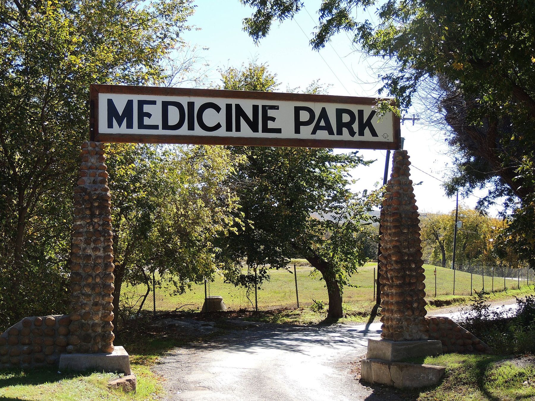
At the refuge's eastern edge, Medicine Park was founded in 1908 as a resort, and it is often called Oklahoma's first. Its buildings and walls are made from rounded red granite cobblestones gathered from the area, and Medicine Creek runs through the middle of the village, dammed to form a swimming hole in summer. The streets are short and easy to wander, with small galleries and places to eat along the creek.
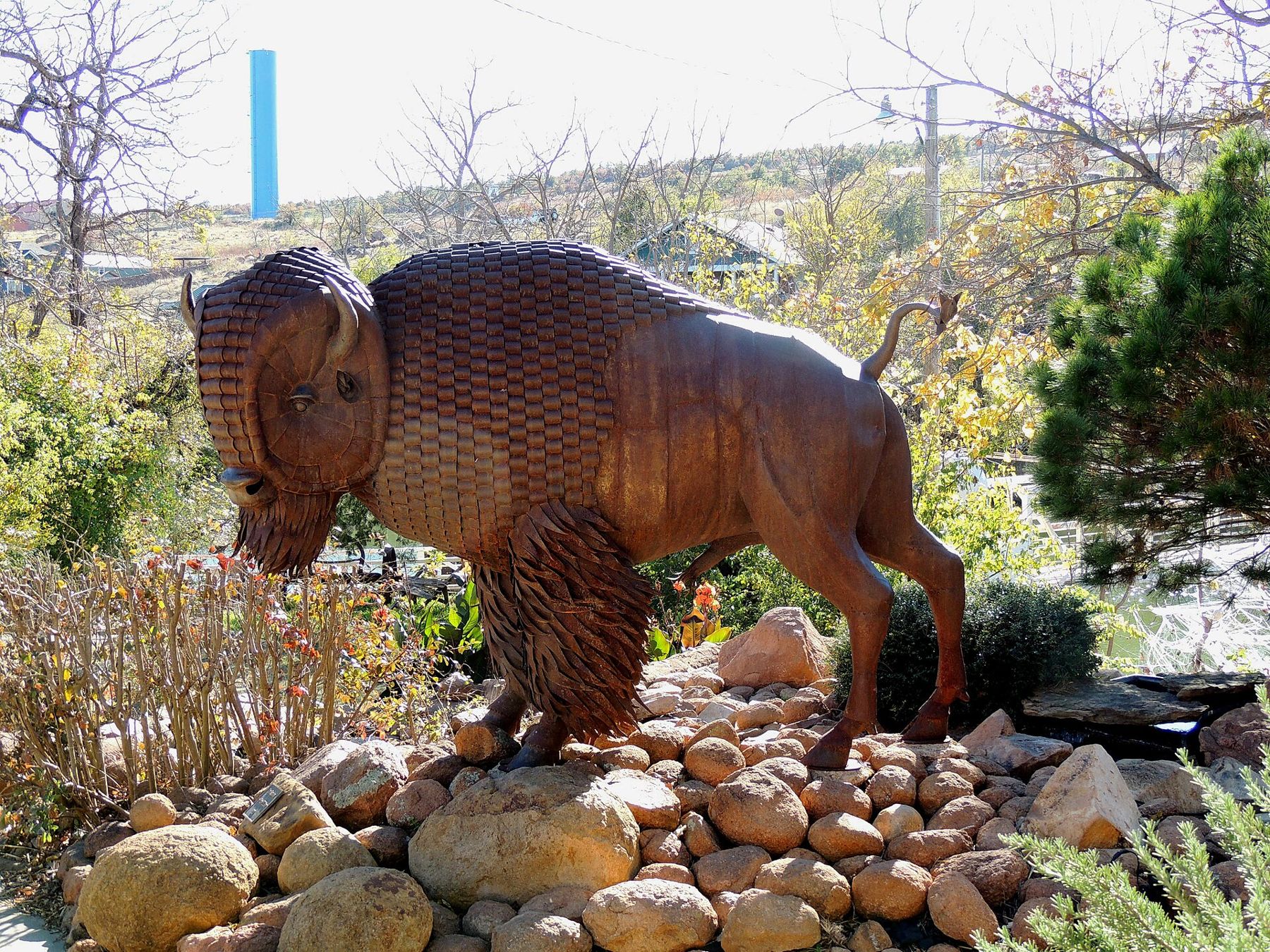
Sculpture and public art turn up in odd corners, including a bison made of hammered metal plates in the village.
Medicine Park is busiest on summer weekends and during local festivals; come midweek or early in the day for a quieter visit.
Museums in town
The Museum of the Great Plains, in Elmer Thomas Park in Lawton, covers the people and landscape of the southern Plains, with galleries on Native American life, the cattle trails and homesteading, and an outdoor area with historic buildings. The Comanche National Museum and Cultural Center, also in Lawton, tells the story of the Comanche people, whose nation is headquartered nearby. Both are good choices for a hot afternoon. Fort Sill has historic sites and museums of its own; access depends on the base's visitor rules.
Wind, storms and the gentle seasons
Wind is the constant here. Spring, from April to early June, is severe storm season: hail, damaging winds and tornado warnings are part of life, and storms can build fast on a sunny afternoon. Keep local weather alerts on, know where shelter is wherever you stay, and act on warnings straight away.
Summer is long and hot, with many days over 100 degrees Fahrenheit; do outdoor things early. Autumn is the most comfortable time, with mild days and clear skies. Winter is changeable, with sunny days broken by cold fronts and the occasional ice storm that makes roads dangerous. The gate-day weather guide compares all the posts.
NEXT ON THE MAP
09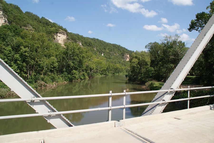
WAYNESVILLEAround Fort Leonard Wood
About 1 h 30 from Springfield-Branson via I-44
›02
MOUNT RAINIERJoint Base Lewis-McChord
About 2 h from Tacoma to the high meadows via Ashford
›