Junction City and Manhattan, in the tallgrass hills around Fort Riley
Around Fort Riley · Junction City, KS
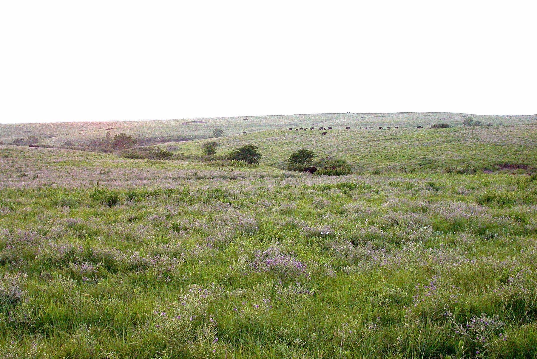
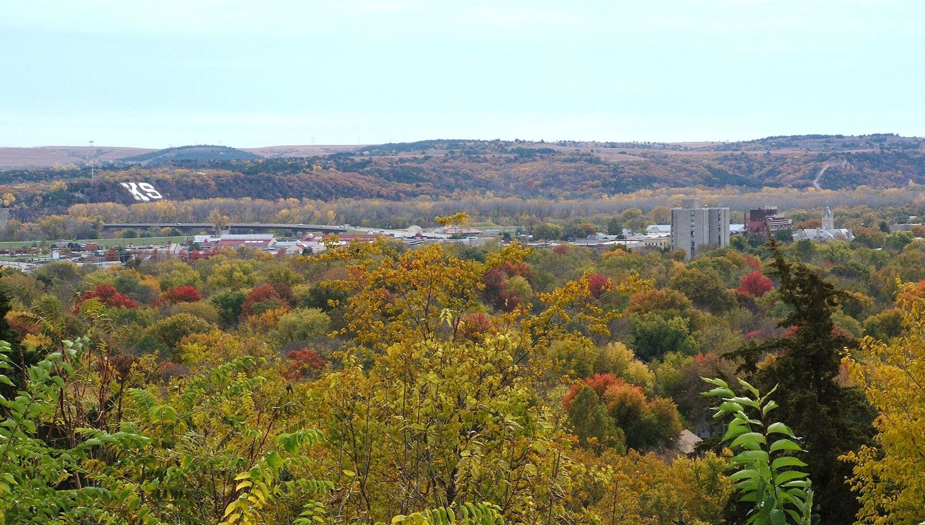
Fort Riley sits between two very different towns, with the last great stretch of tallgrass prairie rolling away on every side and the largest lake in Kansas a few minutes north.
Fort Riley
About 2 h 15 from Kansas City International via I-70
Spring brings severe thunderstorms and tornado warnings; summers are hot and humid; autumn is dry and clear. Winters are cold and windy, with ice storms more troublesome than deep snow.
May, June, September, October
Fly to Kansas City, then I-70 west
Sturdy shoes, sun hat, layers, phone weather alerts on
Fort Riley spreads along the Kansas River in the heart of the state, with Junction City at its western edge and Manhattan about twenty minutes to the east. Junction City is the older post town, compact and close to the gate. Manhattan is a university town with a livelier centre, more places to stay and the prairie trails on its doorstep. Most visitors end up using both.
Base access, visitor passes and ID requirements are set by the post and change; ask the person you are visiting, or the base itself, before you travel. The first-trip guide covers the general questions.
The drive west from Kansas City
Kansas City International is the usual airport. From there, it is about two and a quarter hours west on I-70, past Topeka and into the Flint Hills, where the farmland gives way to long, open, grassy ridges. The drive is easy, but the wind across the interstate can be strong enough to push a high-sided vehicle around, and spring storms can arrive quickly. Manhattan also has a small regional airport with limited connections. The airport and drive-time guide compares options in general.
A prairie walk while they work
Konza Prairie, just south of Manhattan, is one of the largest protected areas of native tallgrass prairie left anywhere. Most of it is a research preserve, but a public nature trail climbs from a small car park through a wooded creek bottom and then out onto open hilltops, with loops of different lengths. From the top you look out over miles of grass with hardly a building in sight. Dogs are not allowed, and the trail is open in daylight; check current access before you go.
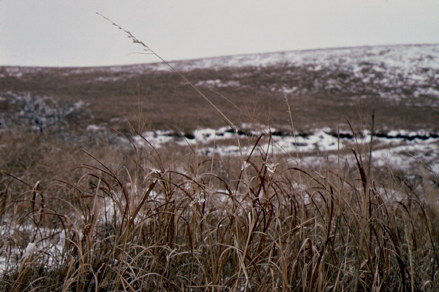
The grass changes with every season. In late spring the hills are bright green and dotted with wildflowers; by late summer the big bluestem can stand taller than an adult; in autumn it turns copper and rust. In winter, the prairie is bare, brown and windswept, with snow lying in the hollows.
Bring water and a hat in summer; there is little shade once you leave the creek, and the climb, though not steep, is steady. Ticks are common in the warm months, so check yourself afterward.
The Flint Hills and Milford Lake
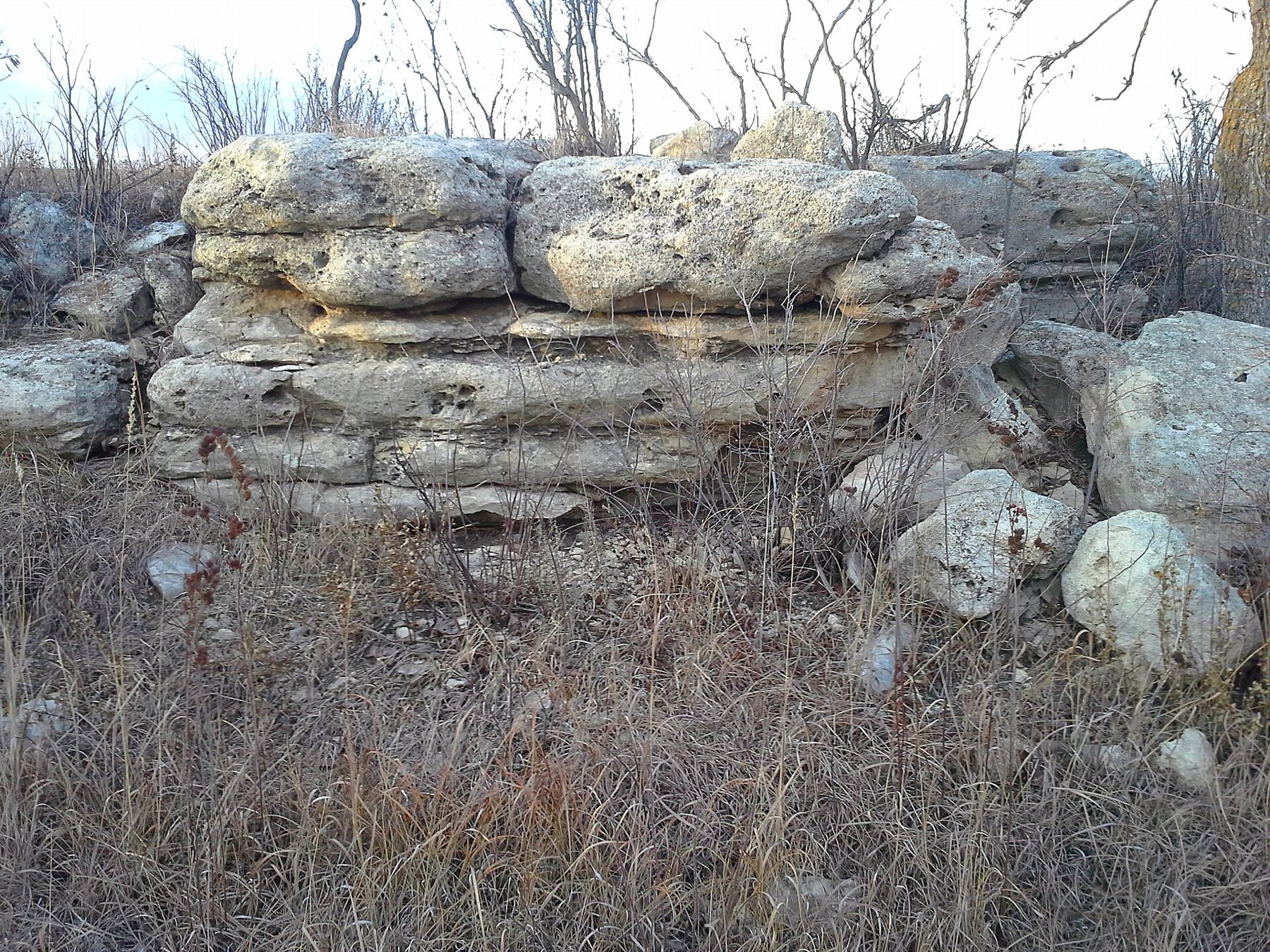
The Flint Hills were never ploughed because the limestone and chert lie too close to the surface, which is why the tallgrass survived here and almost nowhere else. In early spring, ranchers burn the old grass to bring on new growth, and on March and April evenings lines of fire move across the hills. The smoke can drift over the towns, and it is worth knowing why if you see it.
For a longer day out, Tallgrass Prairie National Preserve, about an hour south near Strong City, has a historic ranch house, stone barn, prairie trails and a bison herd. The roads through the hills toward it are among the most beautiful drives in the state.
Council Grove, about an hour south-east along winding roads, was a stopping place on the Santa Fe Trail, and the town keeps several trail-era sites along its main street, including the Kaw Mission State Historic Site in a stone building from the 1850s. From there, the Flint Hills Scenic Byway runs south through open range country, with pull-offs and almost no traffic.
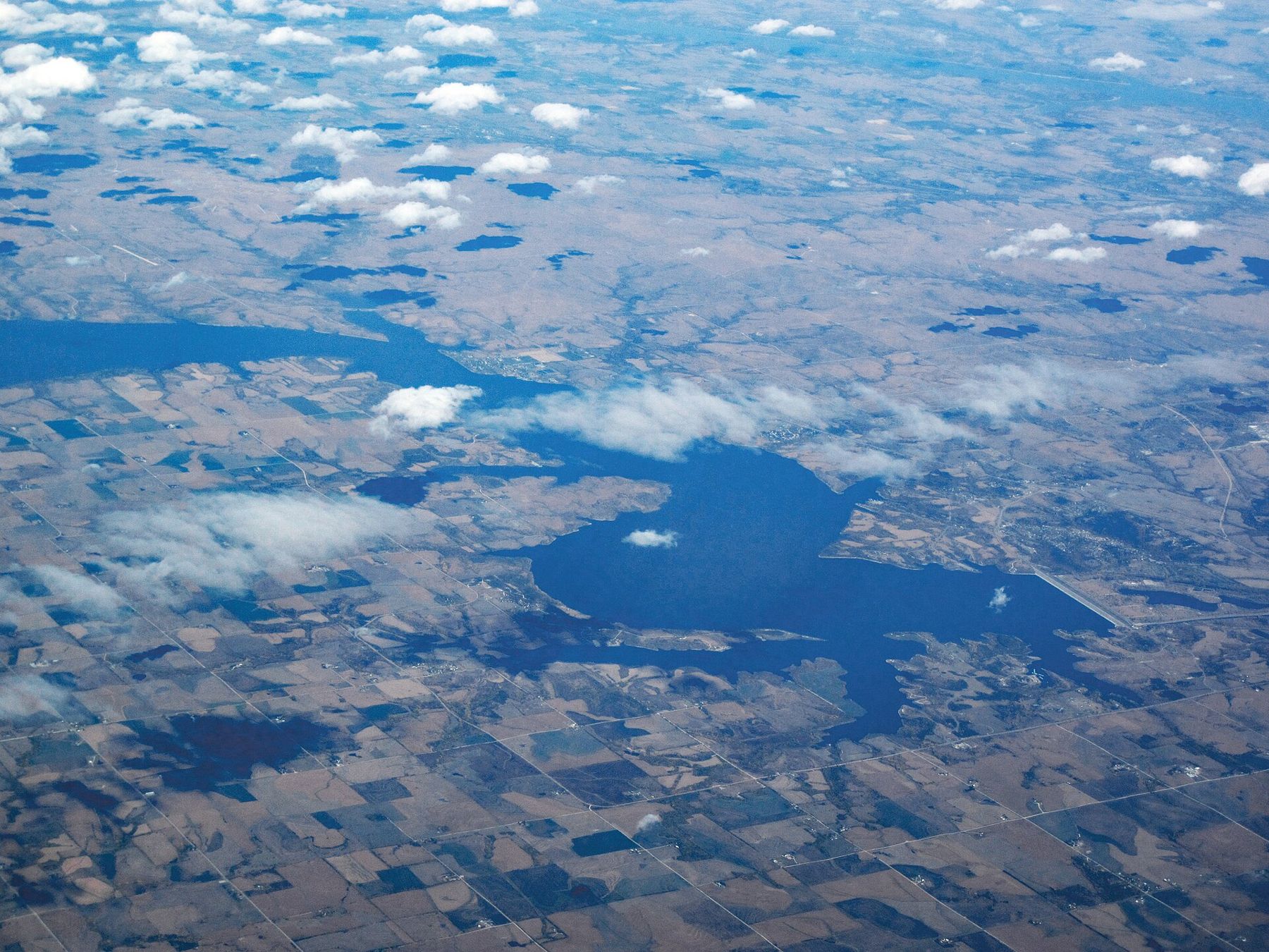
ALSO ON THE MAPLawton, on the edge of the Wichita MountainsNorth-west of Junction City, Milford Lake is the largest lake in Kansas, a reservoir on the Republican River with miles of shoreline. Milford State Park, on its eastern side, has beaches, picnic areas and walking paths, and the lake is popular for fishing and boating in summer. Blue-green algae advisories are sometimes issued in hot weather, so check current conditions before swimming.
Manhattan and Junction City
Manhattan's centre is split between a traditional downtown and Aggieville, a few blocks of student-oriented streets beside the Kansas State University campus, busy in the evenings and on game weekends. On home football weekends, rooms in town fill quickly, so check the university calendar before you book. The Flint Hills Discovery Center, a public museum near downtown, is the best introduction to the prairie, with a film and hands-on galleries that suit children. Sunset Zoo, run by the city, is a smaller, easy half-day.
Junction City is quieter, with a grid of brick streets, a courthouse square and Heritage Park at its centre.
Junction City is quieter, with a grid of brick streets, a courthouse square and Heritage Park at its centre. Memorials in the park honour those who served from the area, and it is a good place to sit for an hour between visits. The Geary County Historical Museum, in an old stone school building, covers local history.
About twenty-five minutes west on I-70, Abilene makes an easy half-day. It was a cattle town at the end of the trail drives from Texas, and it is where Dwight D. Eisenhower grew up. The Eisenhower Presidential Library and Museum, on a landscaped campus at the south side of town, covers his life from boyhood through the Second World War and the presidency; his family home and the chapel where he is buried stand on the same grounds. The museum is large and well laid out, and older visitors in particular often rate it as the best stop of the trip. Check opening hours before you go.
North of Manhattan, Tuttle Creek Lake fills a long valley below a high dam, with Tuttle Creek State Park on its shores and a lookout over the water. It is quieter than Milford and closer if you are staying on the Manhattan side.
On Fort Riley itself are the U.S. Cavalry Museum and the First Territorial Capitol of Kansas, a stone building from 1855; access depends on the base's visitor rules, so ask before you plan around them.
Storm season and the quiet months
Spring, from April to June, is storm season. Afternoons can turn from sunshine to severe thunderstorms with hail and, at times, tornado warnings. Know where the nearest sturdy shelter is wherever you are staying, keep your phone charged and set to receive local weather alerts, and take warnings seriously; sirens in Kansas mean go inside now.
Summer is hot and humid, with temperatures often in the 90s Fahrenheit and warm nights. Autumn is the gentlest season, dry and clear, with the prairie turning colour from late September. Winter is cold and windy; the snow is usually modest, but ice storms can glaze roads and bring down power lines. If you are coming for a ceremony, the graduation weekend guide covers booking early and building in a weather plan, and the gate-day weather guide compares all the posts.
NEXT ON THE MAP
05
CLARKSVILLEAround Fort Campbell
About 1 h 15 from Nashville International via I-24
›06
WATERTOWNAround Fort Drum
About 1 h 15 from Syracuse Hancock International via I-81
›