A river town on two rivers, a Civil War earthwork on the bluff, a cave with a dance-hall past and a long strip of forest between two lakes: what fills the days while they work.
Fort Campbell
About 1 h 15 from Nashville International via I-24
Hot, humid summers with afternoon thunderstorms; spring brings severe storms and tornado watches. Autumn is warm and settled. Winters are mild and grey, with occasional ice that shuts roads briefly.
April, May, September, October
Fly to Nashville, then I-24 north
Light layers, insect repellent, shoes for muddy trails
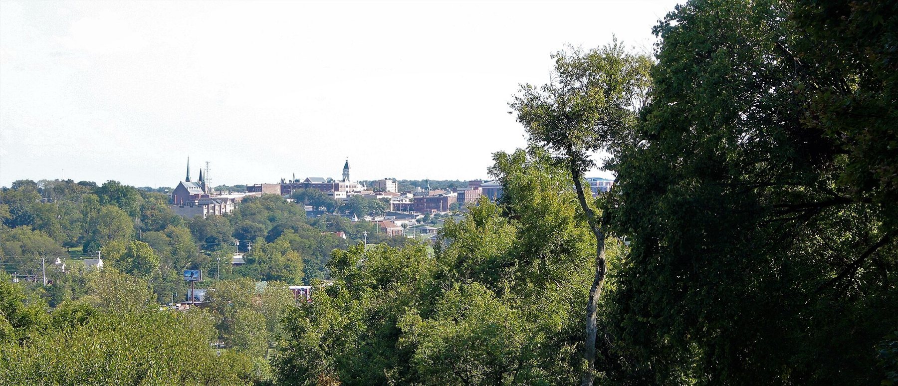
Clarksville grew up where the Red River runs into the Cumberland, on bluffs above the water, and its old centre still looks down on both. Fort Campbell spreads across the state line to the north-west, half in Tennessee and half in Kentucky, and the city has filled in the miles between. It is one of the larger cities in Tennessee but still feels like a river town at its centre, with a university on the hill, brick streets near the courthouse and a long path beside the water.
This guide covers the town and the country around it, not the post. Visitor passes, ID and access to anything on post are set by the base and change; check with the person you are visiting, or with the base itself, before you plan around them. The first-trip guide goes through the general questions to ask.
Up from Nashville on I-24
Nashville International is the usual airport, and the drive north-west on I-24 takes about an hour and a quarter in normal traffic. Leaving Nashville in the evening rush can add a good deal to that, so a landing in the middle of the day is the easier one. The interstate is straightforward once you are clear of the city: rolling farmland, a few long grades and exits for Clarksville spread over several miles. Ask the person you are visiting which exit suits where you are staying, because the city is long and the wrong one can mean twenty minutes of traffic lights.
Some families spend the first or last night in Nashville to break up a long travel day. If you are weighing a smaller airport against the big one, the airport and drive-time guide sets out the trade-offs in general.
While they're on duty: the river and the bluff
Start downtown at the Cumberland Riverwalk, a paved path along the riverbank below the old centre. McGregor Park sits at its heart, with lawns, benches facing the water and a stage used for summer concerts. The walk is flat and shaded in places, good for a pushchair or a slow morning stroll, and the river traffic is steady enough to watch: towboats pushing long lines of barges upstream towards Nashville.
A short climb from the riverbank, the streets around the courthouse hold most of the town's older buildings. The Customs House Museum and Cultural Center occupies a late nineteenth-century federal building with a steep roof and decorative brickwork, and inside are rotating exhibitions, local history and a model railway that tends to hold children longer than you expect. It is a good choice for a hot afternoon or a wet one.
Across the Red River on the north side, Fort Defiance Civil War Park and Interpretive Center holds the remains of an earthen fort built in 1861 and 1862 to guard the river approach. It was abandoned to Union troops after the fall of Fort Donelson early in 1862, and the town was occupied for much of the war. A boardwalk and a short trail lead past the earthworks to an overlook with a long view over the junction of the two rivers and back towards downtown. The interpretive centre explains the fort and the town's wartime years. Opening hours change with the season, so check before you go.
Dunbar Cave and the city's green edges
Dunbar Cave State Park sits inside the city limits on the east side, which makes it easy to fit into a few spare hours. The mouth of the cave opens behind a small lake, framed by an old arched structure from the decades when the cave was a resort. In the 1930s and 1940s, big bands played on a wooden floor just inside the entrance, and summer crowds came for the cool air as much as the music. Long before that, people of the Mississippian period left drawings deep in the cave.
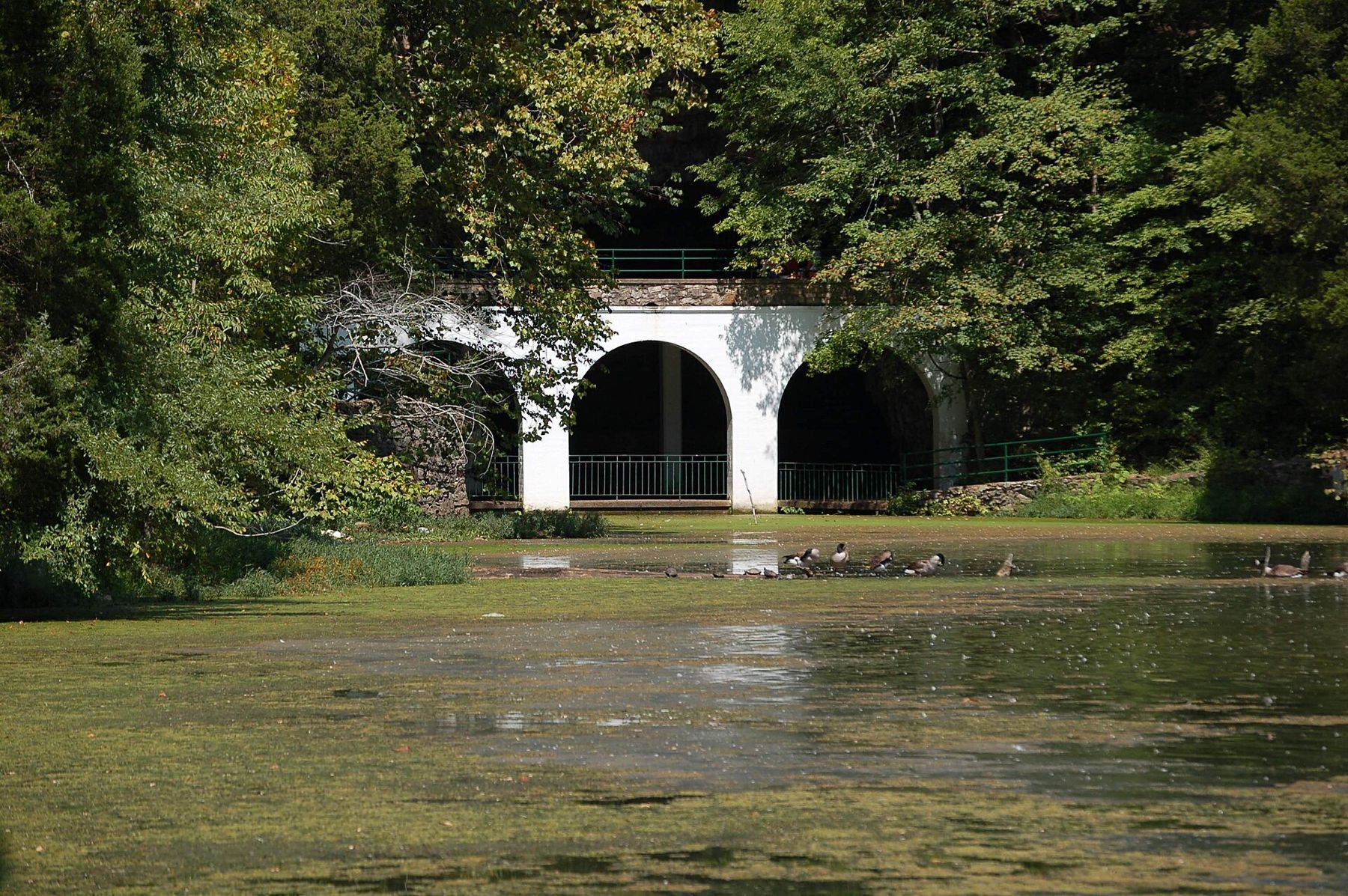
Guided cave tours run in some seasons and not others, partly to protect the bats that winter there, and places are limited. The trails around the lake and through the woods are open far more often, and they are pleasant even without the cave: a few miles of footpath, with a few short climbs and plenty of birdsong in spring. Check the park's current arrangements before you set out.
A day trip here is less about one sight than about time in open country.ALSO ON THE MAPJunction City and Manhattan, in the tallgrass hills around Fort Riley
On the north side of town, the Clarksville Greenway follows an old railway bed through woods and fields, flat and paved for most of its length. It suits a bike ride or a long walk while someone is at work, and it is close to the post if you only have an hour between visits.
A day out to Land Between the Lakes
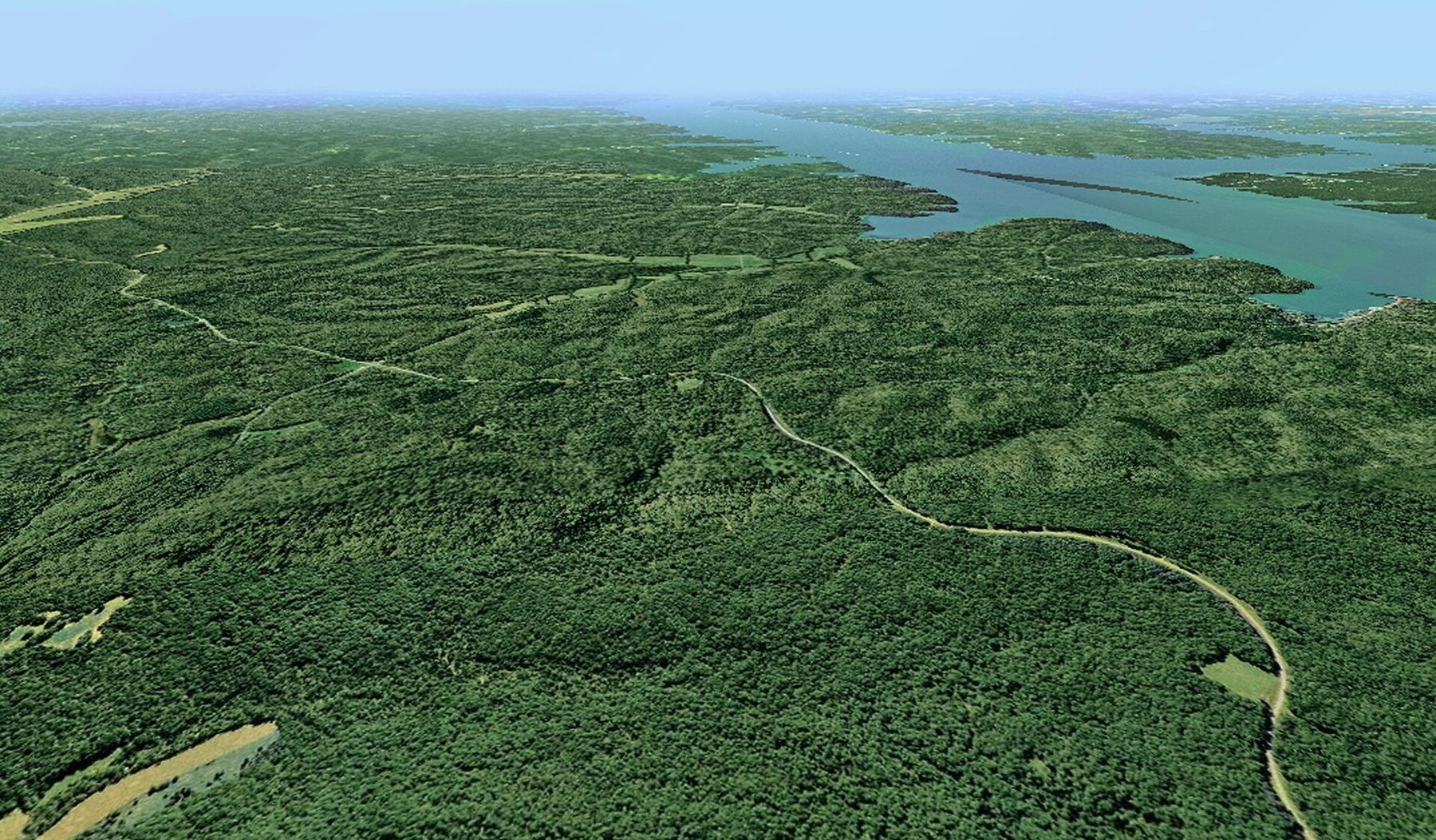
West of Clarksville, the Cumberland and Tennessee rivers run almost side by side for many miles before reaching the Ohio. Both were dammed in the twentieth century, forming Lake Barkley and Kentucky Lake, and the long strip of land between them became Land Between the Lakes National Recreation Area. It is roughly forty miles from end to end, mostly forest, with a single main road called the Trace running up the spine.
A day trip here is less about one sight than about time in open country. From Clarksville, follow US 79 west through Dover, where Fort Donelson National Battlefield preserves the river fort whose surrender in February 1862 opened the Cumberland to Union gunboats. A short drive beyond Dover brings you to the southern end of Land Between the Lakes. On the Tennessee side, The Homeplace is a living-history farm set in the 1850s, with log buildings, livestock and staff in period dress working the fields. Further north, a fenced prairie holds elk and bison that you can watch from your car on a slow loop road, best early or late in the day. Some of these places charge a small fee and keep seasonal hours, so check what is open on the day.
The lakeshore is the other reason to come. Pull-offs and picnic areas look out over wide bays, there are short trails through the woods and beaches where you can paddle in summer. Signal is patchy in places, so download a map before you leave Clarksville and keep fuel in the tank, because there are few services inside the area.
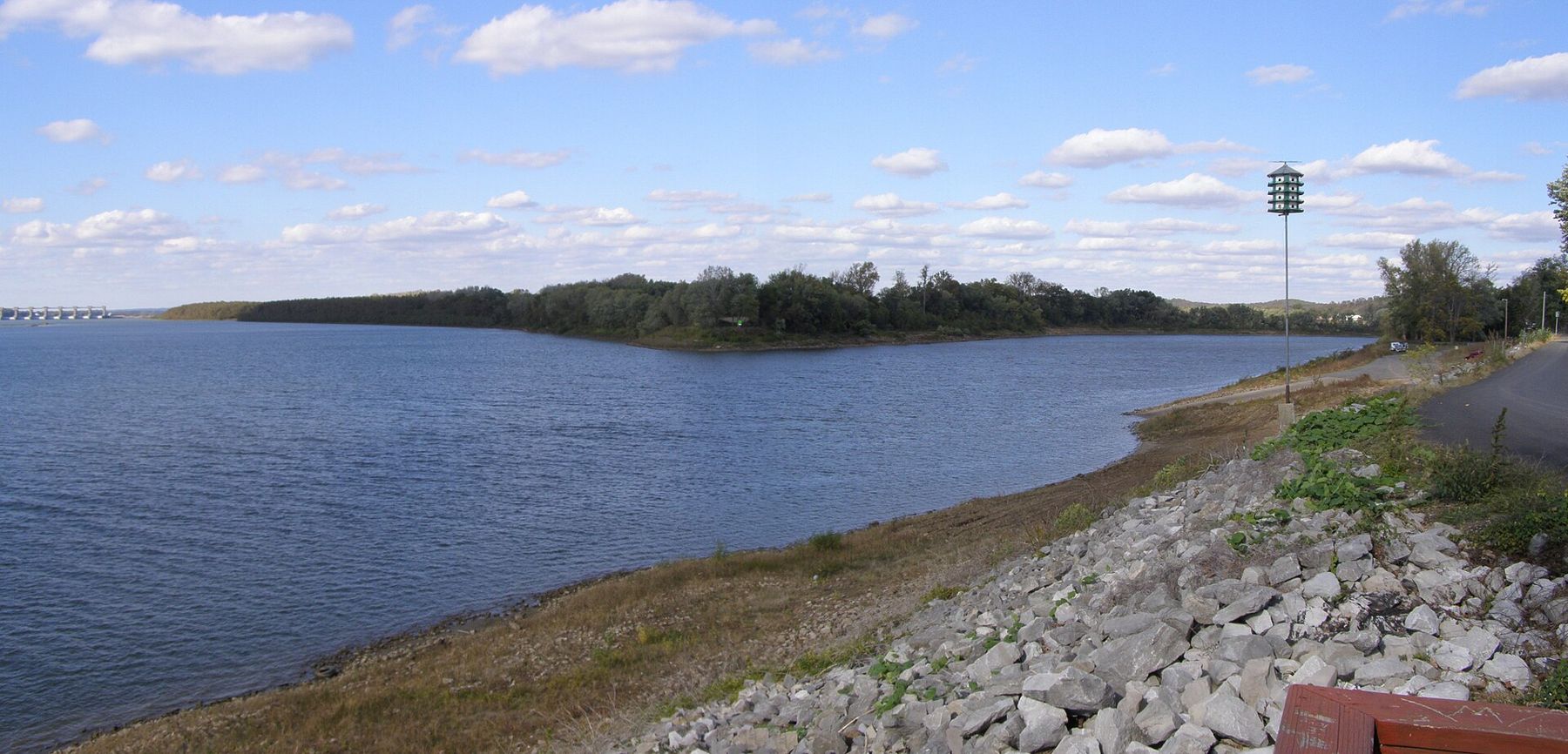
If you carry on to the northern end and beyond, the Cumberland finally joins the Ohio near Smithland, Kentucky, a broad, quiet meeting of waters that few visitors bother to see. It makes a long but easy loop back to Clarksville by the interstates.
Heat, storms and the soft months
Summer in Clarksville is hot and humid from June to early September, with thunderstorms that build in the afternoon and clear by evening. Walks belong to the early morning, and water belongs in the car. Ticks and mosquitoes are busy in the woods from spring to autumn, so long trousers and repellent help on any trail.
Spring brings the most dramatic weather of the year. Severe thunderstorms and tornado watches are common between March and May, so turn on weather alerts on your phone and ask the person you are visiting where to shelter if a warning comes. Autumn is the gentlest season, warm and settled into October, with colour on the river bluffs late in the month. Winter is mild and often grey; snow is light and short-lived, but freezing rain can make roads slick for a morning or two.
The gate-day weather guide compares Clarksville with the other towns on this site, and the graduation weekend guide covers booking early when a ceremony brings families in from everywhere at once. Whatever the season, leave slack in the day for traffic near the post at shift changes: the person you are visiting will know when the roads are worst.
NEXT ON THE MAP
06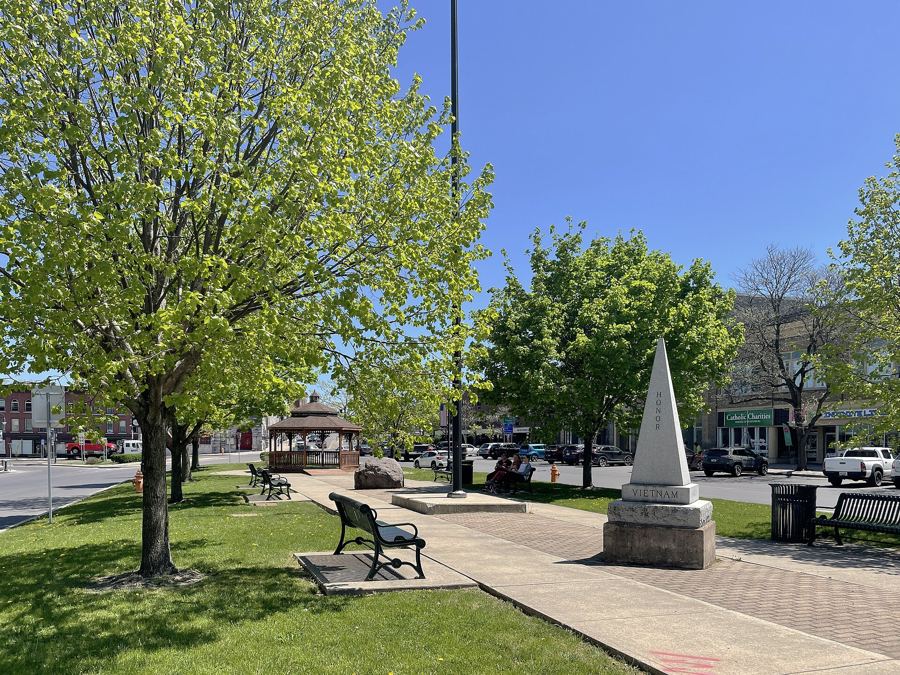
WATERTOWNAround Fort Drum
About 1 h 15 from Syracuse Hancock International via I-81
›07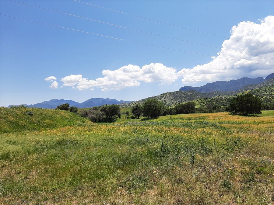
SIERRA VISTAAround Fort Huachuca
About 1 h 30 from Tucson International via I-10 and AZ 90
›