A river town with falls in the middle of it, a hilltop park, a War of 1812 harbour on the lake and the deepest snow in the East: what to do in the North Country while they work.
Fort Drum
About 1 h 15 from Syracuse Hancock International via I-81
Long, cold, snowy winters with lake-effect squalls from November to March. Spring comes late and muddy; summers are mild, bright and short; autumn colour peaks in early October.
June to early October
Fly to Syracuse, then I-81 north
Real winter boots November to April, layers otherwise
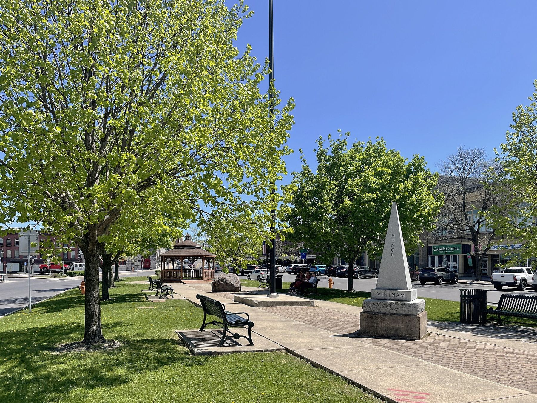
Watertown sits on the Black River in the far north of New York State, about twenty-five miles south of the St. Lawrence and a few miles inland from the eastern end of Lake Ontario. In the nineteenth century the river's falls drove mills and factories, and the money they made built the stone churches, the library and the solid brick blocks around Public Square. Fort Drum spreads across the country to the north-east, and the town and the post have grown together; many visitors stay in Watertown itself, a short drive from the post.
This guide is about the town and the country around it. Visitor passes, ID requirements and access to anything on post are set by the base and change from time to time; ask the person you are visiting, or the base itself, before you rely on them. If this is your first trip in, the first-trip guide covers the general questions.
Up I-81 from Syracuse
Syracuse Hancock International is the usual airport, and the drive north on I-81 takes about an hour and a quarter in good conditions. The road is quiet and straight for most of the way, through farmland and woods with long views east towards the Tug Hill. In winter it is a different road. Lake-effect snow bands can cross the interstate between Syracuse and Watertown with little warning, cutting visibility to a few car lengths and closing the road for hours. Check conditions before you set off from November to March, keep the tank full and do not push on if the snow gets heavy.
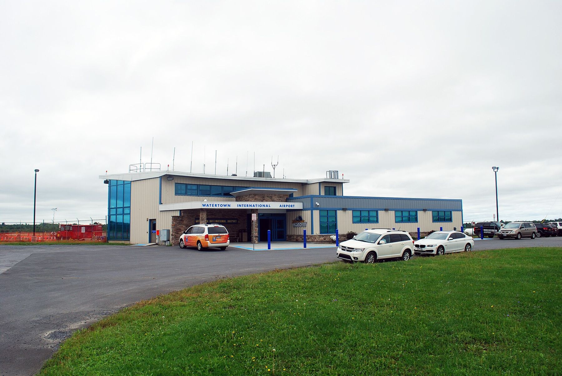
Watertown has its own small airport with limited flights, which can save the drive if a schedule happens to fit. The airport and drive-time guide compares hub and regional airports in general.
While they're on duty: the hilltop park and the river
Thompson Park covers a hill on the south-east edge of town, a gift to the city at the turn of the twentieth century and laid out by the Olmsted Brothers, the landscape firm of the sons of Frederick Law Olmsted. Winding roads and paths climb through stands of old trees and open lawns to a high point with wide views over the city, and on clear days towards Lake Ontario. There are picnic areas, a pool in summer, playgrounds and quiet corners for a long talk on a bench. In winter, the slopes fill with sledges.
The New York State Zoo at Thompson Park sits inside the grounds and focuses on animals native to the state, from bears and wolves to birds of prey. It is small enough to see in a morning and a good choice for younger children. Opening hours vary with the season, so check before you go.
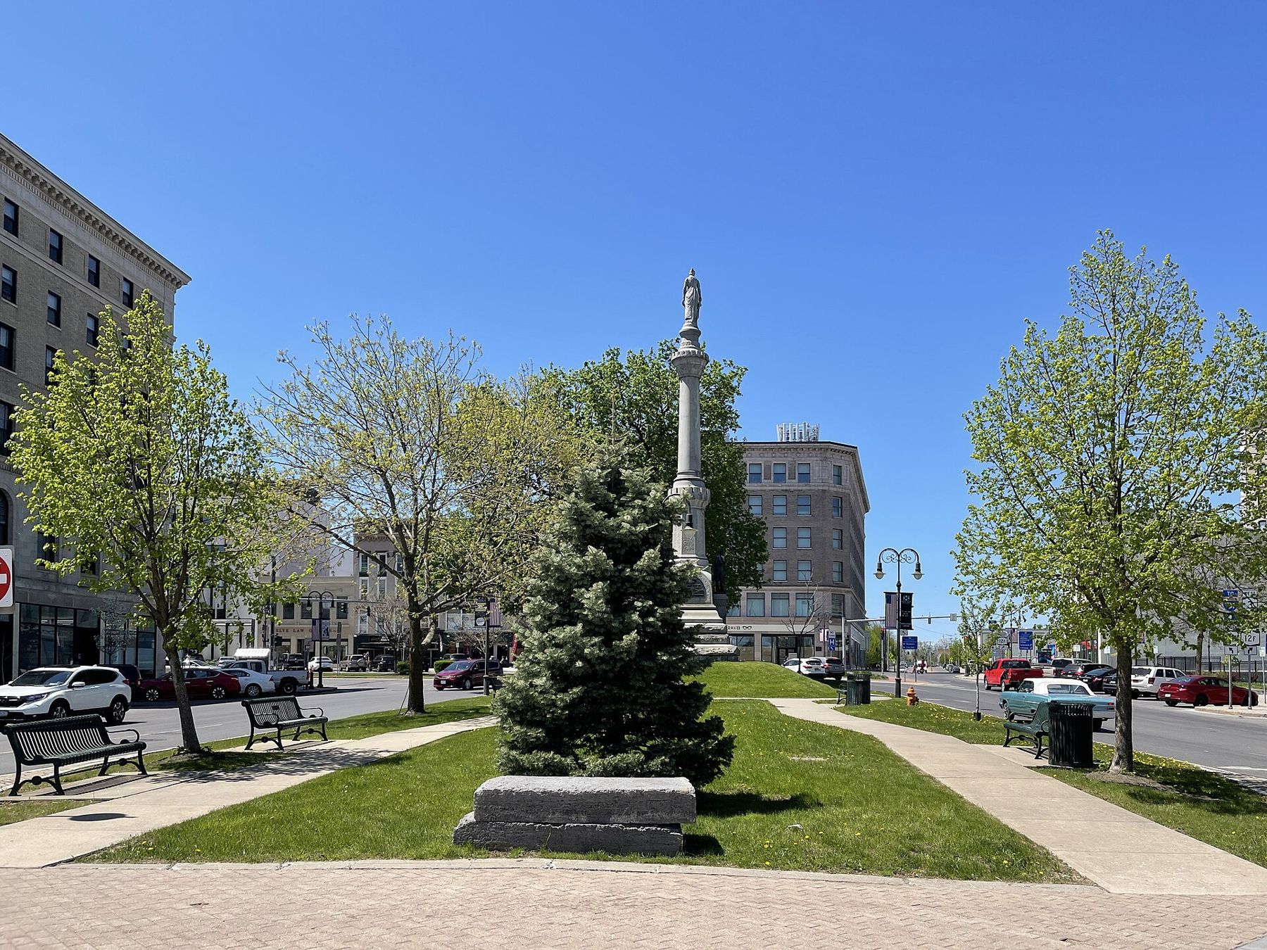
Down in the centre, the Black River drops through a series of ledges and rapids, loud in spring when the snowmelt comes down from the Adirondacks. Short riverside paths and small parks look over the water, and in summer you will see rafts and kayaks running the rapids. Around Public Square, the Roswell P. Flower Memorial Library is a grand early twentieth-century building with murals inside, and the Jefferson County Historical Society keeps a museum in the Paddock Mansion, a nineteenth-century house a few streets away. Both are good places for an hour on a cold or wet day.
Sackets Harbor and the lake shore
About twenty minutes west, the village of Sackets Harbor looks out over a sheltered bay at the eastern end of Lake Ontario. During the War of 1812 it was the main American naval base on the lake, with a busy shipyard, and British forces attacked it twice. Sackets Harbor Battlefield State Historic Site now covers the battleground along the water, with open lawns, interpretive signs and the restored houses of the old navy yard. The grounds are pleasant to walk at any time of year; the buildings open on a seasonal schedule.
ALSO ON THE MAPLawton, on the edge of the Wichita MountainsSunsets over the open water are the reason to stay late.
The village itself is small and walkable, with stone and brick buildings from the early nineteenth century along the main street and a waterfront park. Sunsets over the open water are the reason to stay late. A little to the south, Westcott Beach State Park has a beach, picnic areas and a hillside view over the lake, and Southwick Beach State Park, further down the shore, has a long sandy beach backed by dunes and a nature trail through wetlands. The lake stays cold well into summer, so bring a layer even on a warm day.
North of Watertown, the St. Lawrence and its islands are about half an hour away. The Thousand Islands guide covers Alexandria Bay, Clayton, Boldt Castle and the bridge to Canada.
The Tug Hill and the snow that made its name
South-east of Watertown, the land rises gently to the Tug Hill Plateau, a broad upland of forest, bog and small farms with very few roads. It is among the snowiest places in the eastern United States. When cold winds blow across Lake Ontario, they pick up moisture from the open water and drop it on the first high ground they reach, which is the Tug Hill. Two hundred inches of snow or more in a winter is not unusual on the high ground, and single storms can bring feet at a time.
In winter the plateau draws snowmobilers and cross-country skiers; in summer and autumn it is quiet, green country for a slow drive. On its eastern edge, near Lowville, Whetstone Gulf State Park has a deep gorge cut into the hillside, with a rim trail and a small lake for summer swimming. Signal is weak on the plateau, so download a map before you go.
The long winter and the short summer
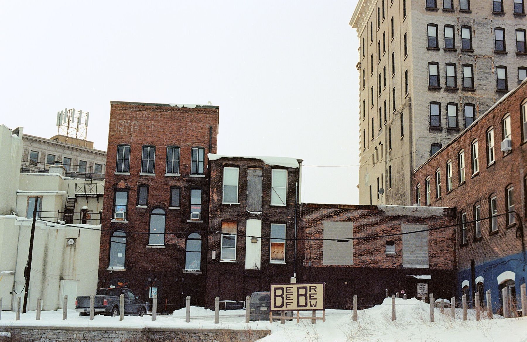
Winter is the season that defines Watertown. Snow can start in November and last into April, and January and February bring deep cold, with nights well below zero Fahrenheit on still, clear days. Lake-effect bands can bury one side of town and leave the other clear. If you are visiting in winter, bring proper boots, a hat, gloves and a warm coat, and keep a blanket and snacks in the car. Rental cars here usually cope, but ask about winter tyres and make sure there is a scraper.
Spring arrives late and muddy. Summer is the reward: mild, bright days, cool nights and long evenings on the water, though biting flies can be a nuisance in the woods in late spring. September and early October are the best months of all, with crisp air, few crowds and colour across the hills. The gate-day weather guide compares Watertown's winters with the other towns on this site.
Whenever you come, plan around the weather rather than against it. The person you are visiting will know which roads close first and how long the drive across town really takes on a snowy morning.
NEXT ON THE MAP
07
SIERRA VISTAAround Fort Huachuca
About 1 h 30 from Tucson International via I-10 and AZ 90
›08
LAWTONAround Fort Sill
About 1 h 30 from Oklahoma City via the I-44 turnpike
›